ICELAND CRUISE 2026
Contents
- Sunday 30th August - Weymouth
- Monday 31st August - Cobh, Ireland
- Thursday 3rd September - Reykjavik, Iceland
- Friday 4th September - Grundarfjordur, Iceland
- Saturday 5th September - Isafjordur, Iceland
- Sunday 6th September - Akureyri, Iceland
- Tuesday 8th September - Lerwick, Shetland Islands
- Wednesday 9th September - Kirkwall, Orkney Islands
- Friday 11th September - Zeebrugge, Belgium
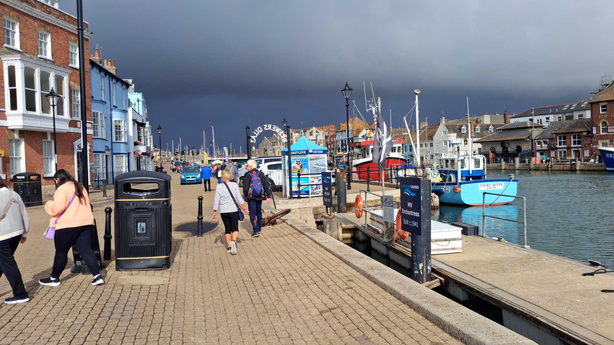
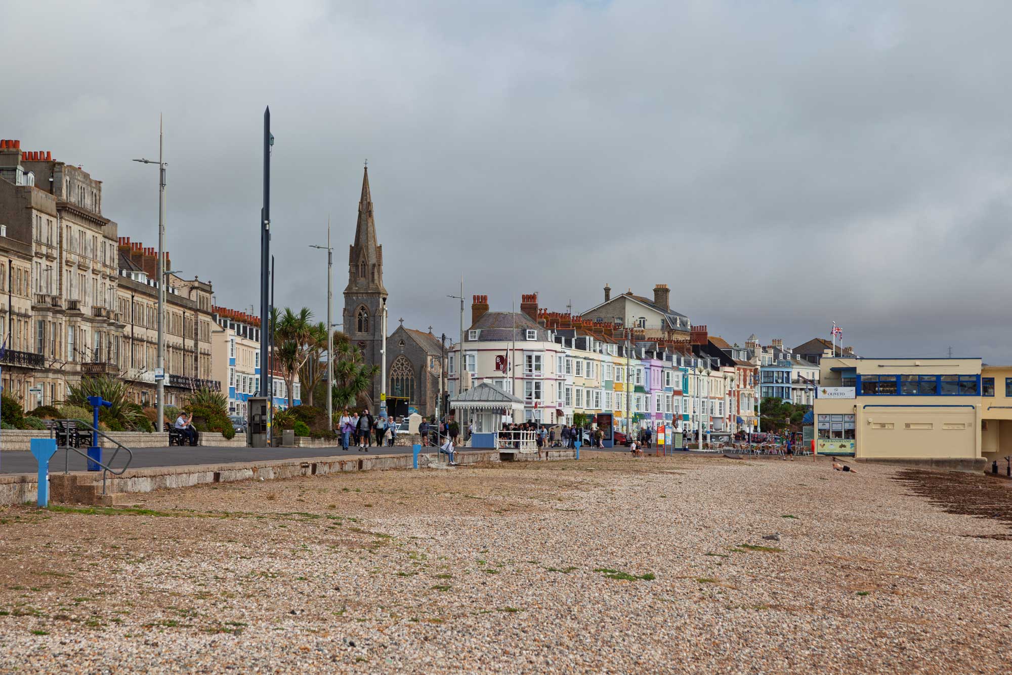
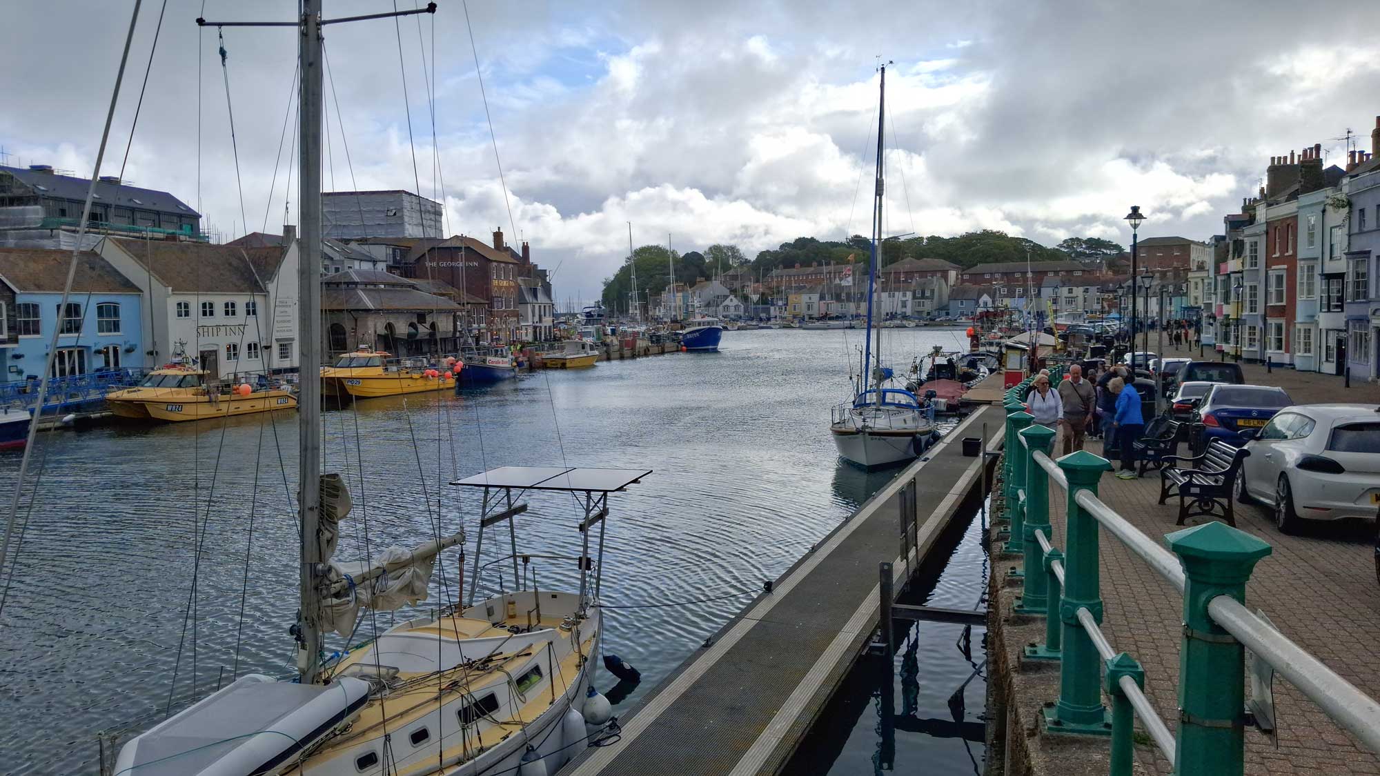
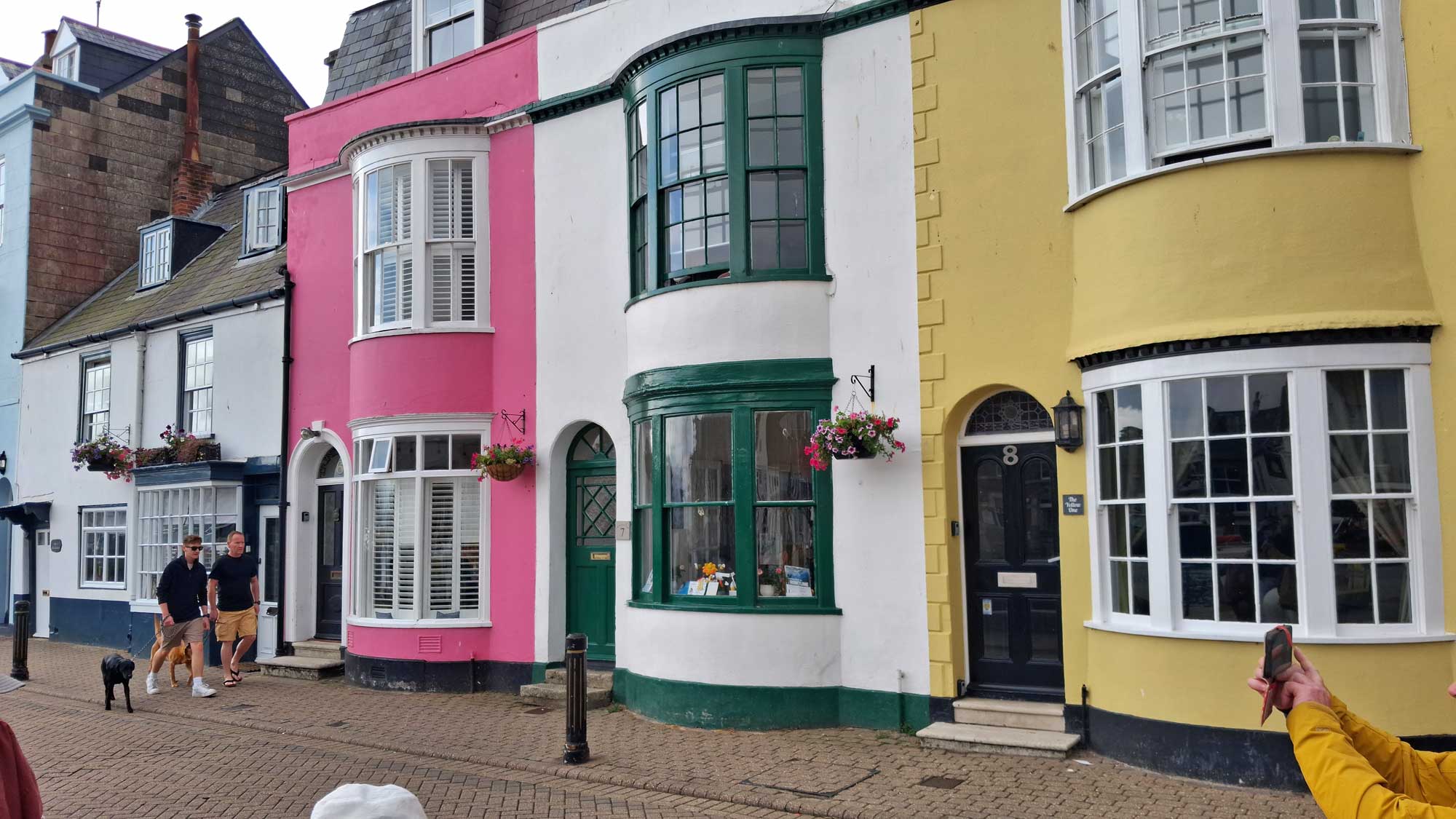
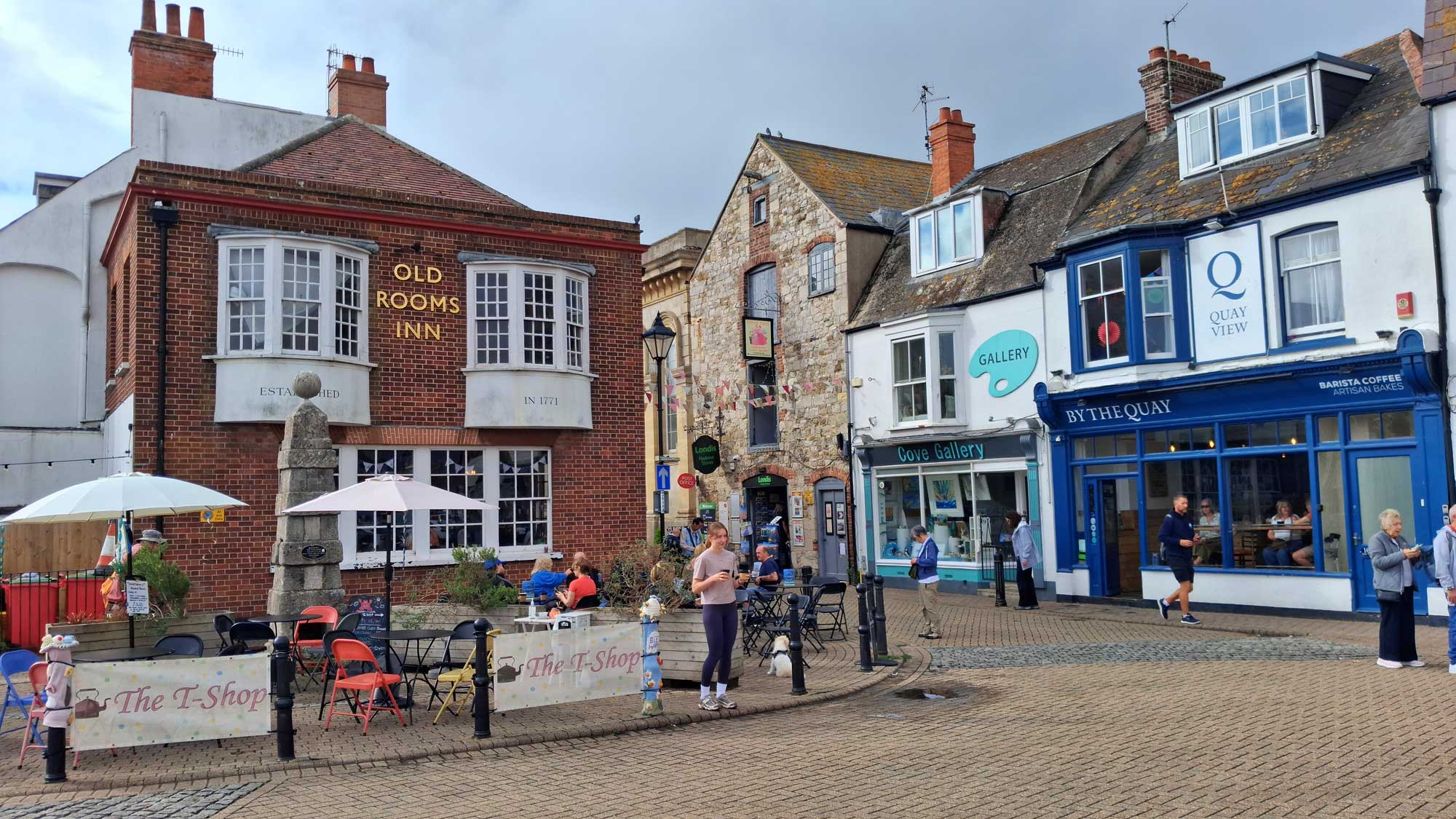
It's late August 2026 and we are on a cruise to Iceland. Once more we are on board the Sky Princess and indeed in the same cabin as for our mediterranean cruise last year (L217). We set off from Southampton yesterday and, travelling westwards, we arrived this morning just a few miles along the coast in Weymouth.
There were a few threatening clouds overhead as we arrived but fortunately these gave no more than an odd raindrop or so and no sooner had we put on our raincoats than the rain stopped and we were left with a lovely sunny morning.
Cobh was originally named Cove but was renamed to Queenstown following a visit by Queen Victoria (when her ship got stuck for a number of hours on a sandbank in the harbour - she was not amused!). Following independence, the town was again renamed to Cove but they adopted the Gaelic spelling of Cobh ... the bh is pronounced as v as in the girl's name Siobhan.
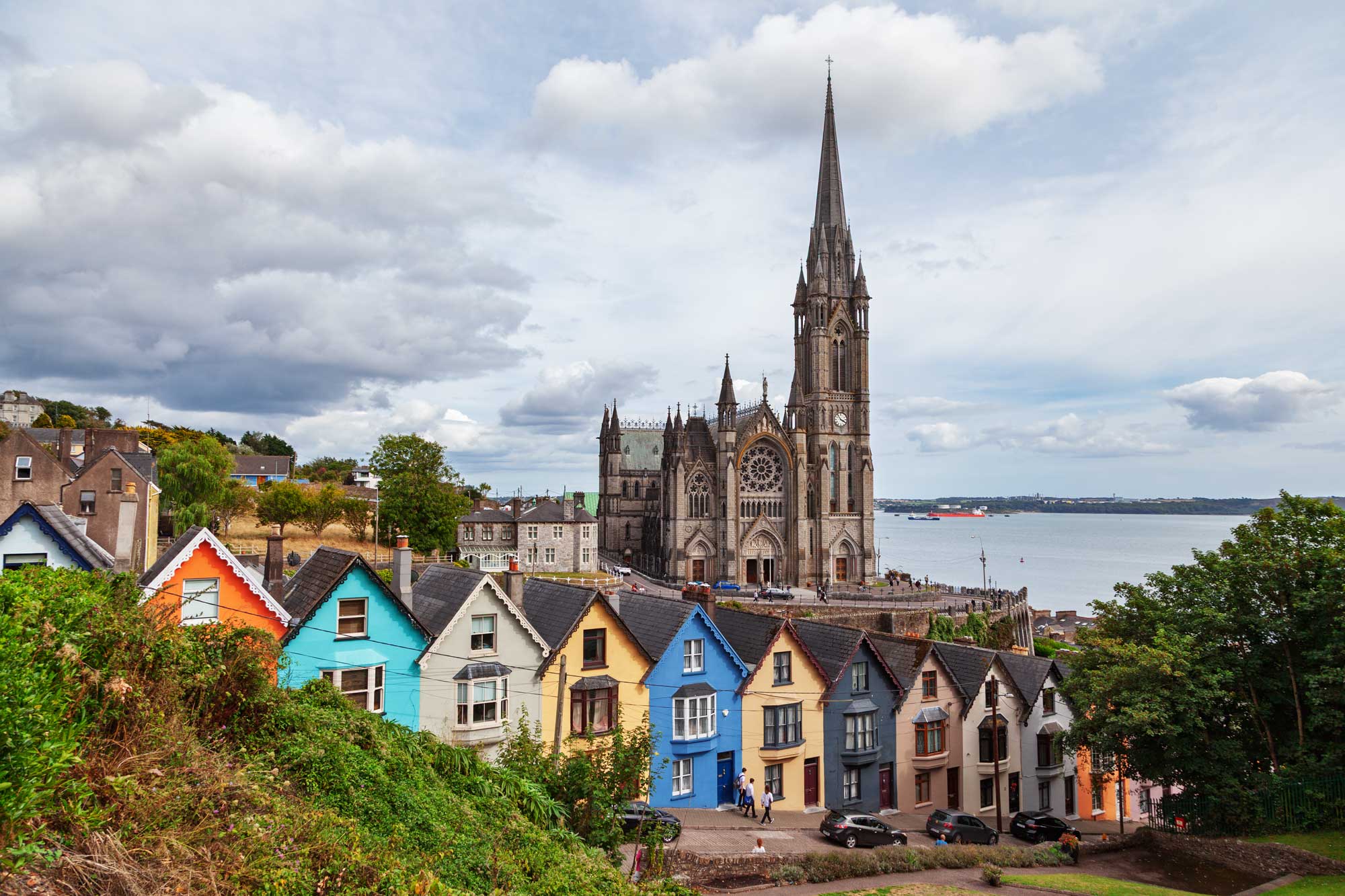
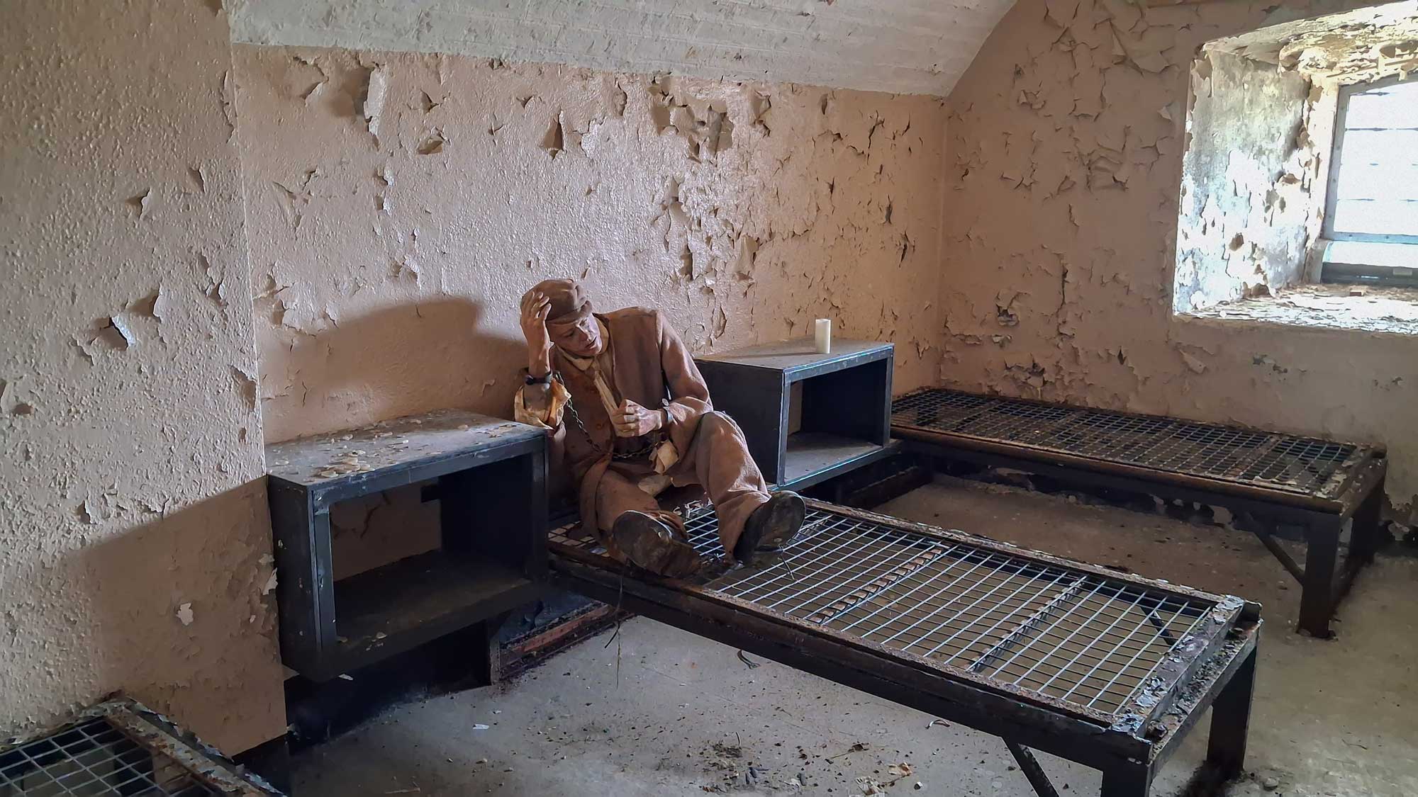
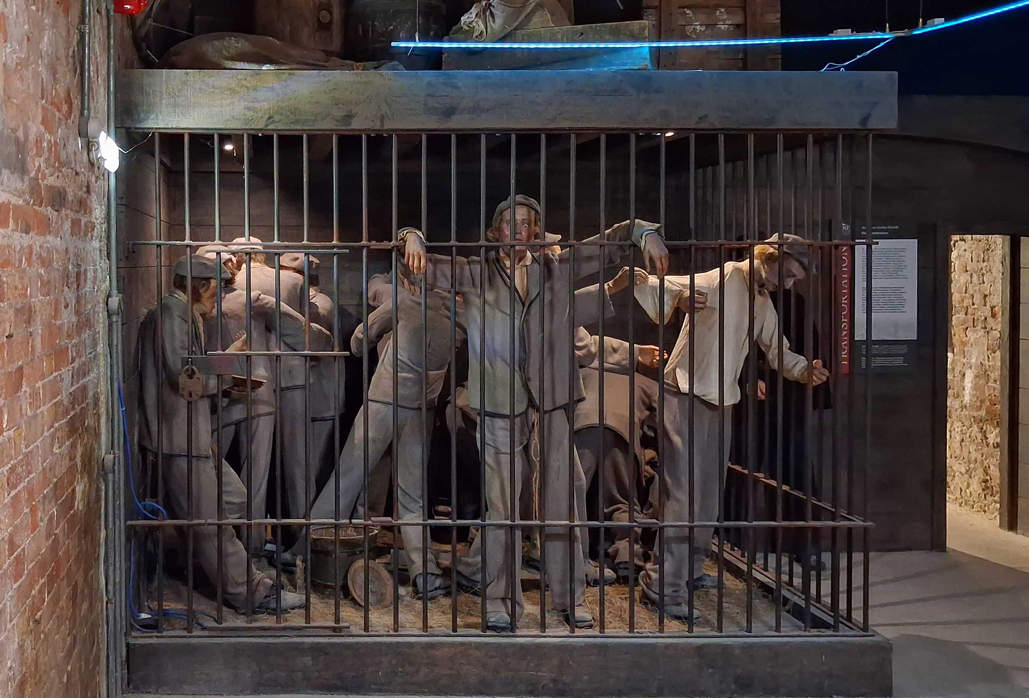
We thought that there were two main places to visit whilst stopping here: The Deck of Cards Houses (see the first photograph below) and Spike Island (which is the Irish Alcatraz ... as the island was the location of what, for a time at least, was the largest prison in the world).
Queenstown was the last stop where passengers boarded the Titanic before it set off across the Atlantic. At that time the pier in Queenstown was not large enough for the Titanic to berth against and so it actually stopped just off Spike Island and the joining passengers were transferred across from the mainland by tender boats.
The prison at Spike Island was originally a military base built for the Napoleonic Wars. Of course, at that time it was owned and operated by the British. It stayed that way, and used as a prison, until 1938 when Spike Island was finally ceded to the Irish. It then remained as an operational prison until the first few years of the 21st century before being left abandoned. The prison was turned into a tourist attraction in 2016.
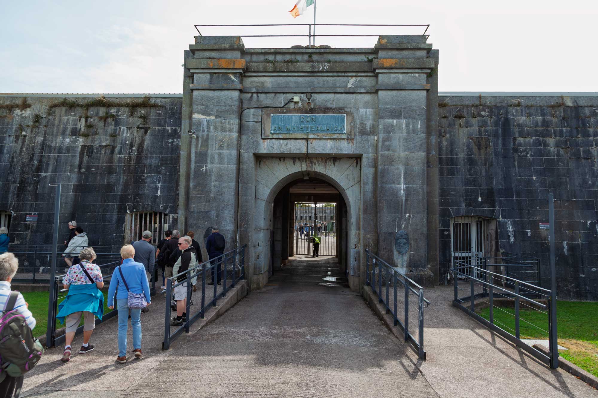
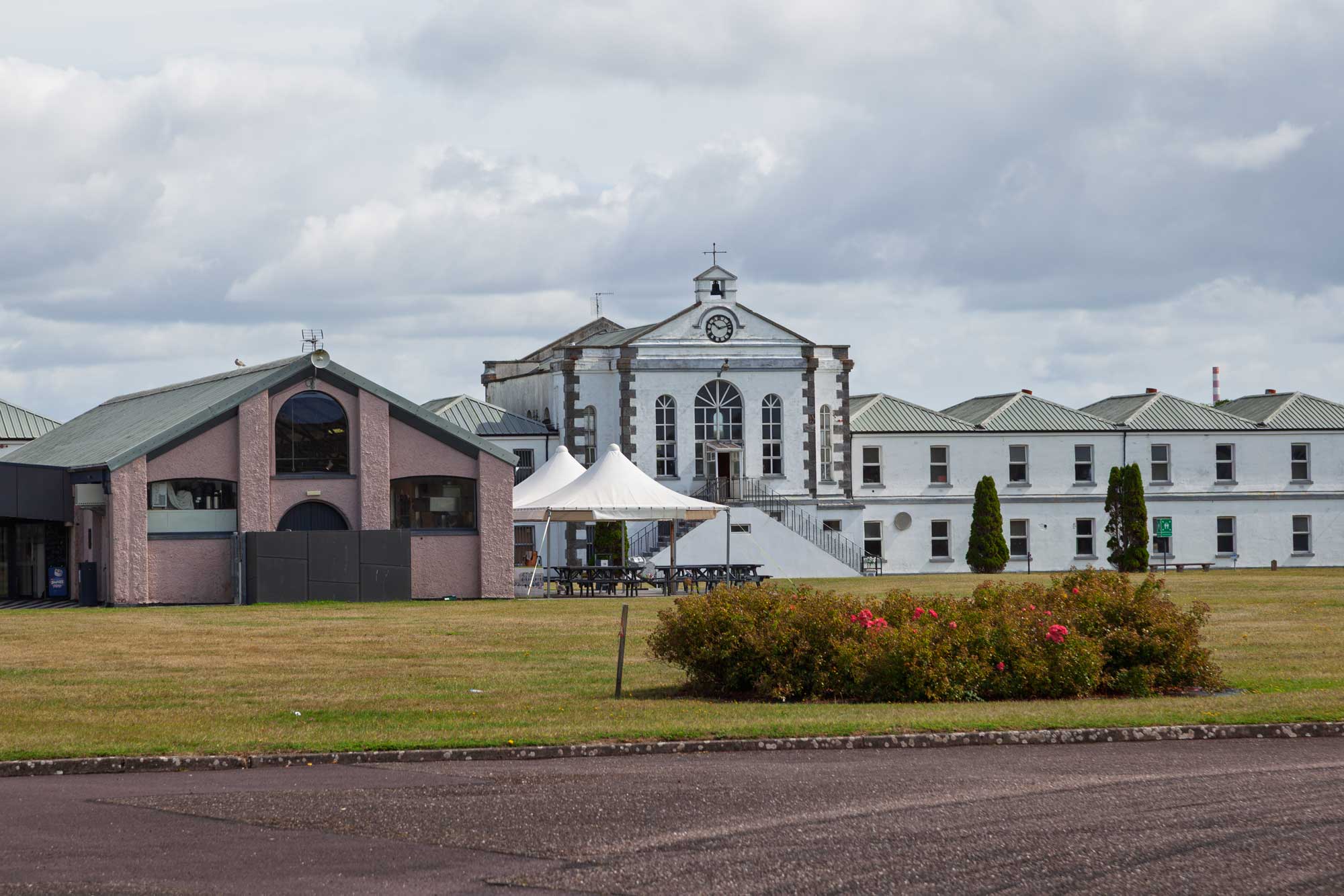
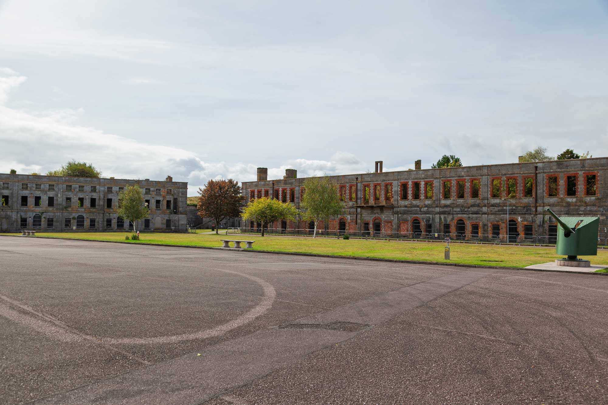
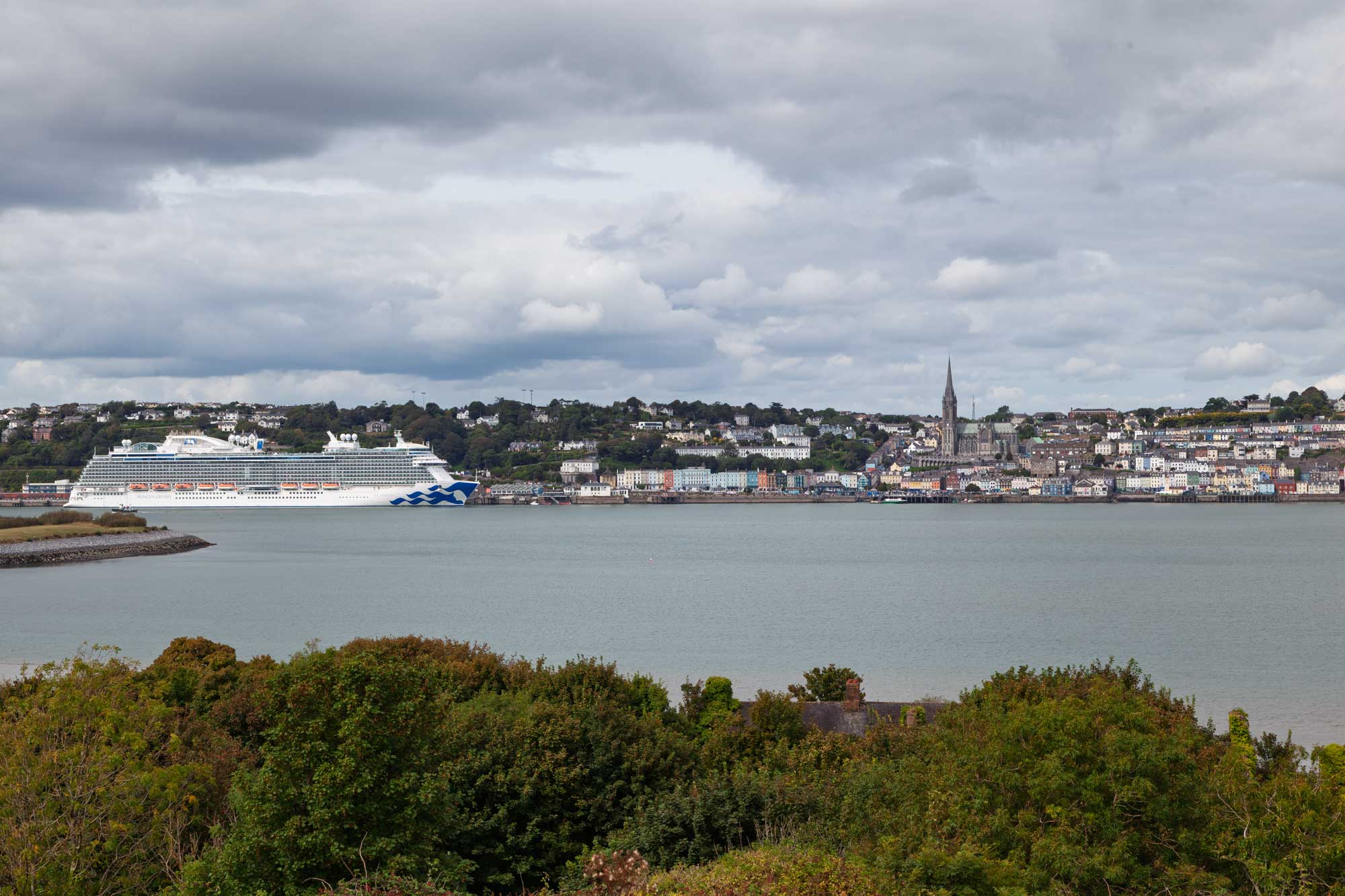
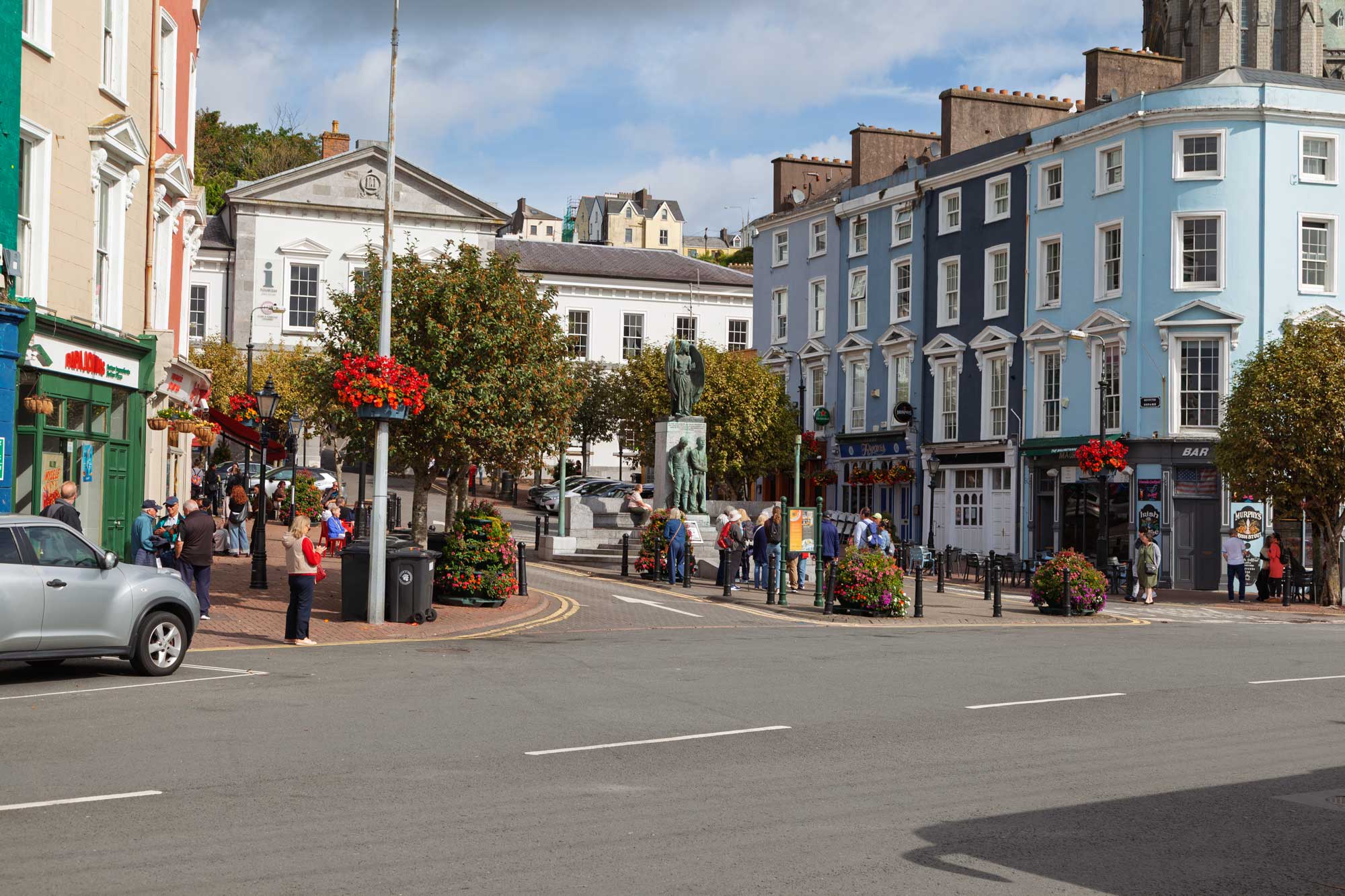
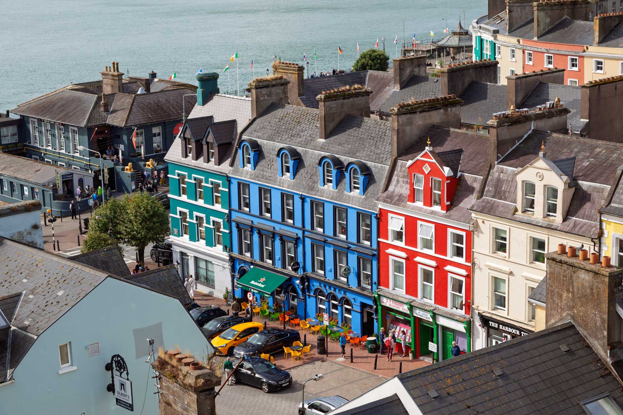
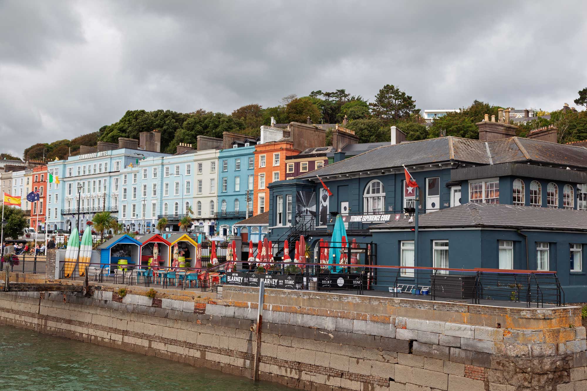
Here are some views of the town of Cobh:
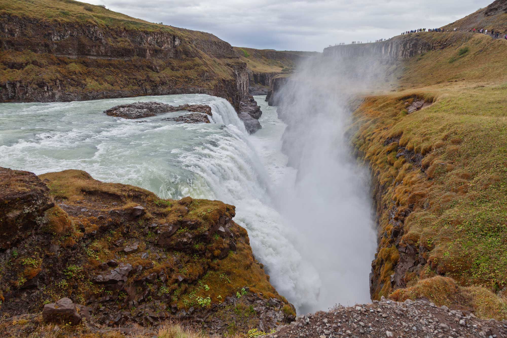
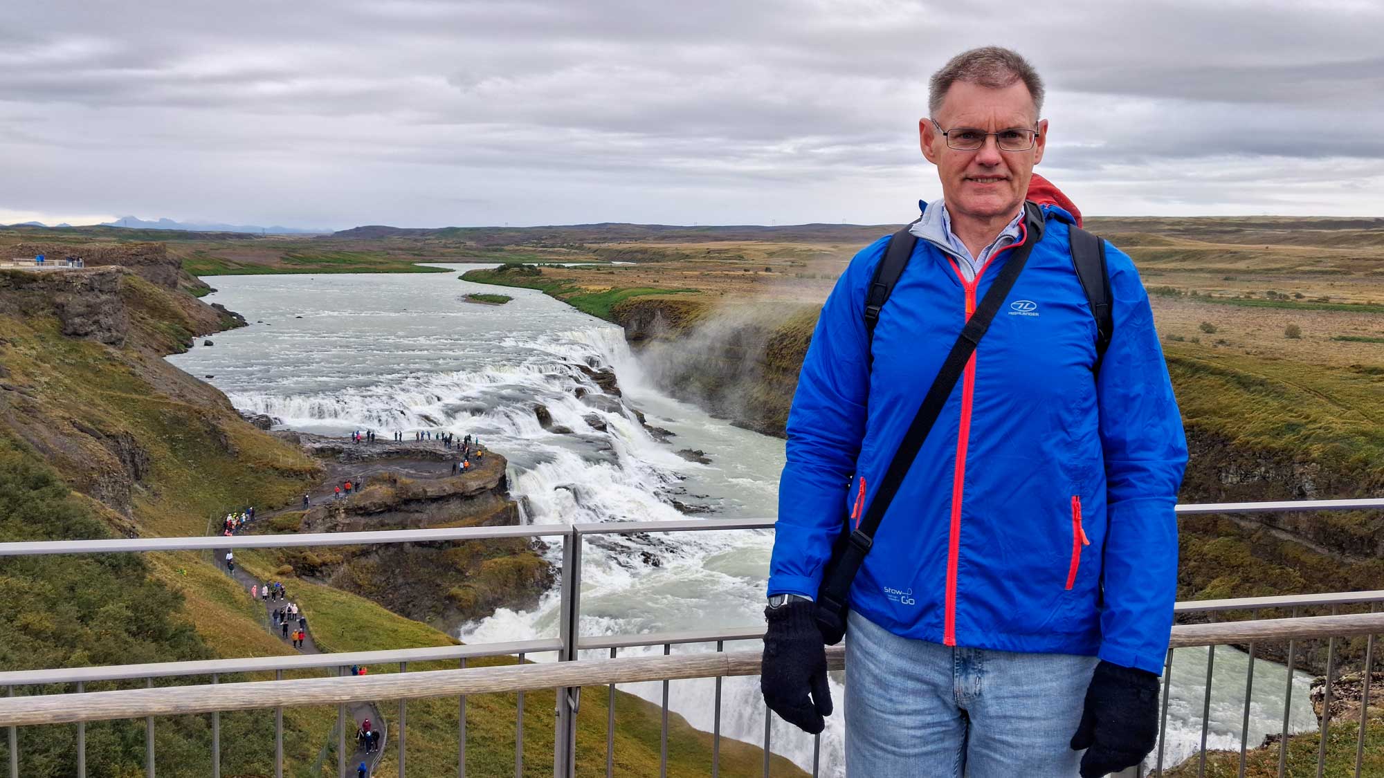
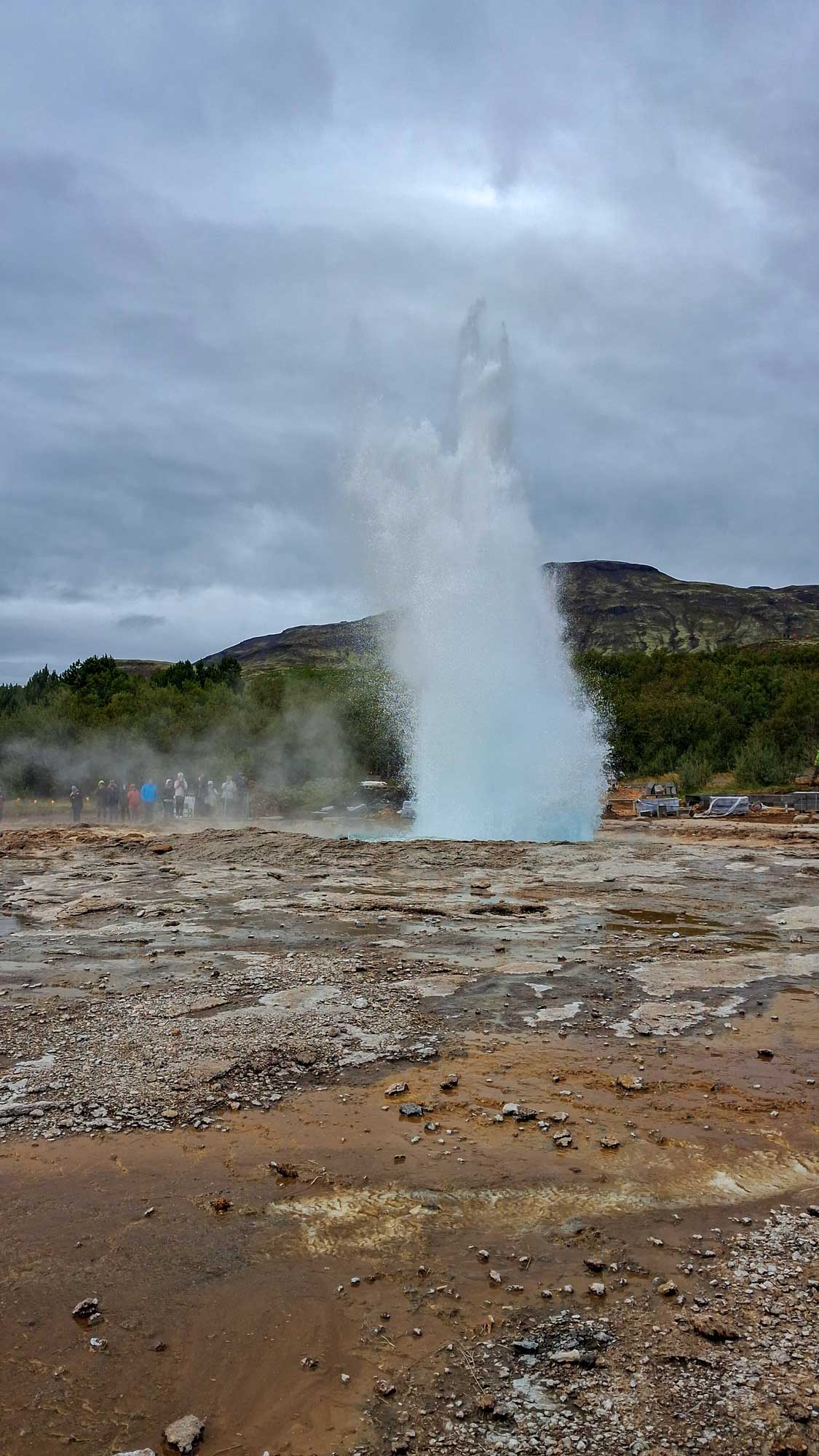
We have now landed in Iceland. Rather than walk around the city of Reykjavik, we decided that the most important thing was to experience the countryside and therefore we took one of the full-day ship excursions and visited the Gullfoss Waterfall and Geysir (from where our english word "geyser" is derived), as well as travelling to see where the tectonic plates of Eurasia and North America meet. All sights were amazing!
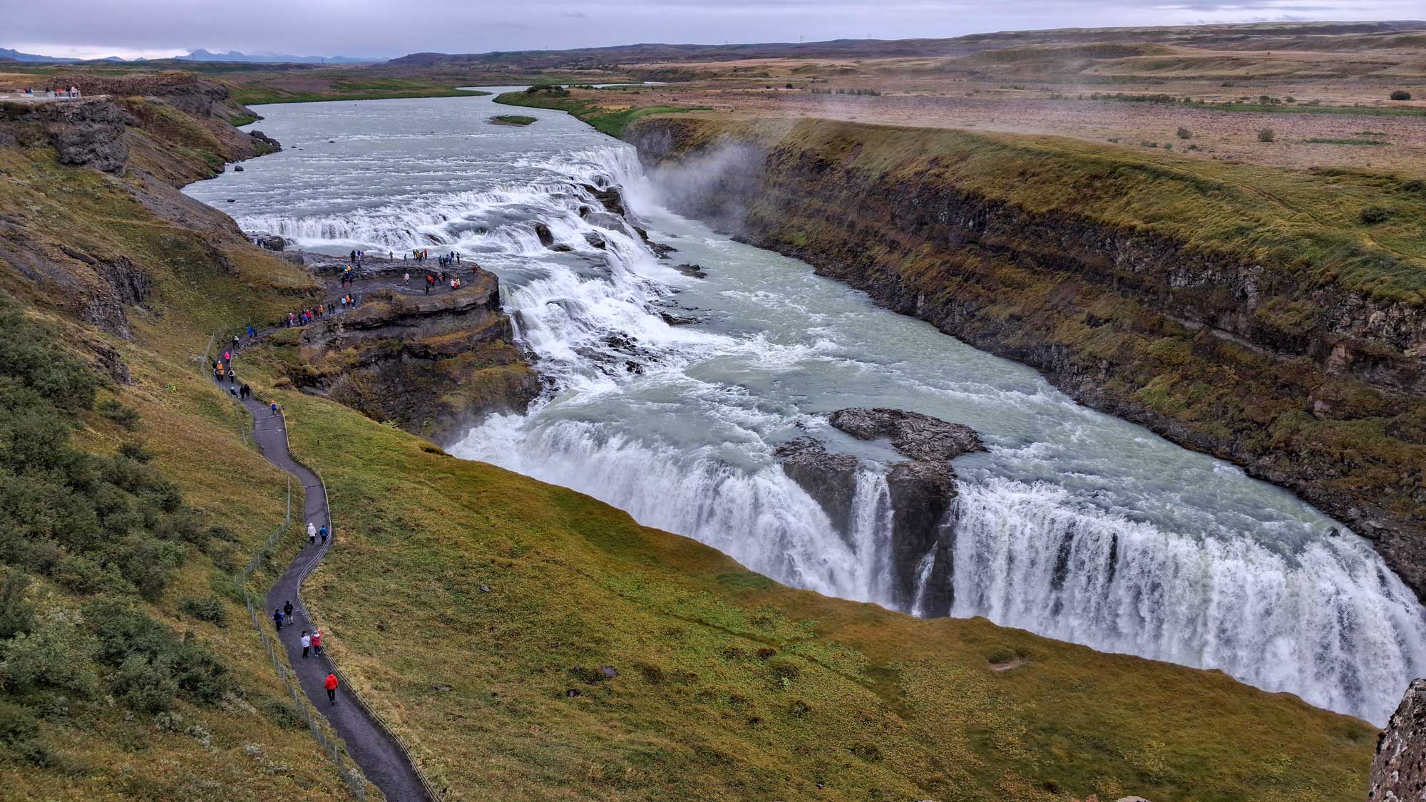
In the early 20th century, Gullfoss was threatened by plans to harness its power for a hydroelectric project. A local woman, Sigríður Tómasdóttir, fought a fierce legal battle to save the falls, famously threatening to throw herself into the waters to stop construction. Her activism preserved the site, and she is widely celebrated as Iceland’s first environmentalist.
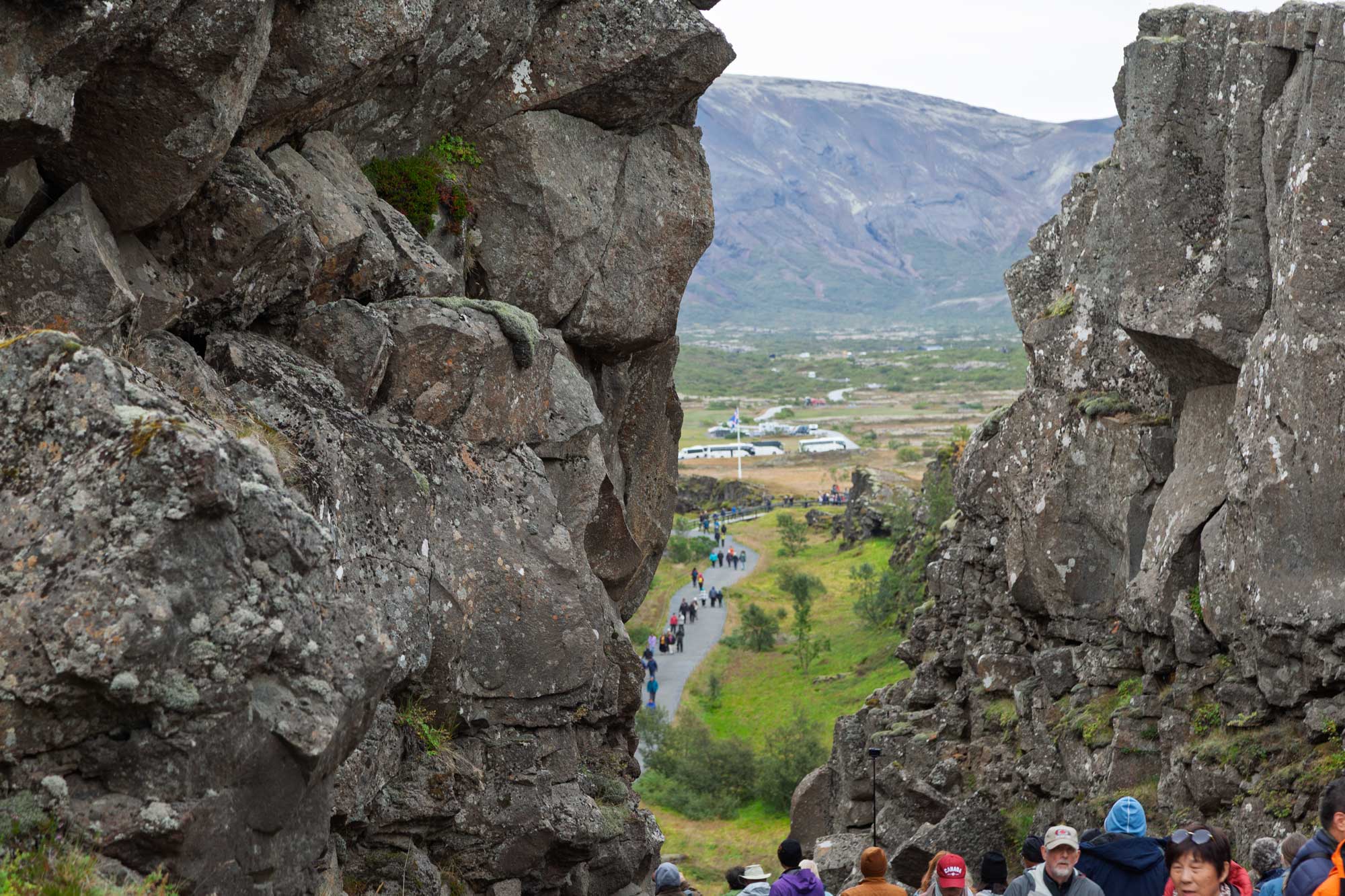
This is where the tectonic plates meet:
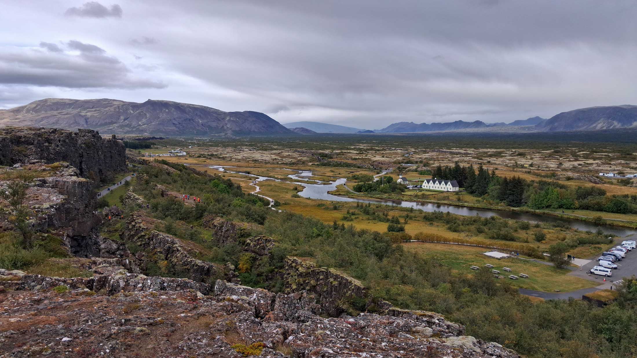
The North American plate is on the left and the Eurasian plate is on the right:
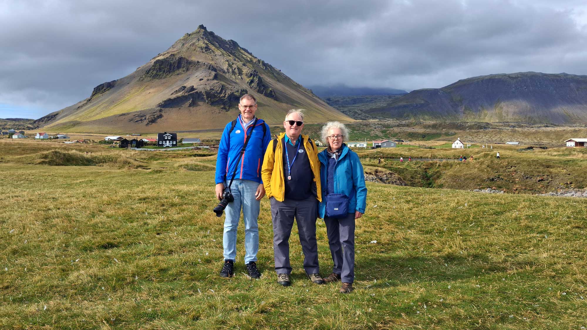
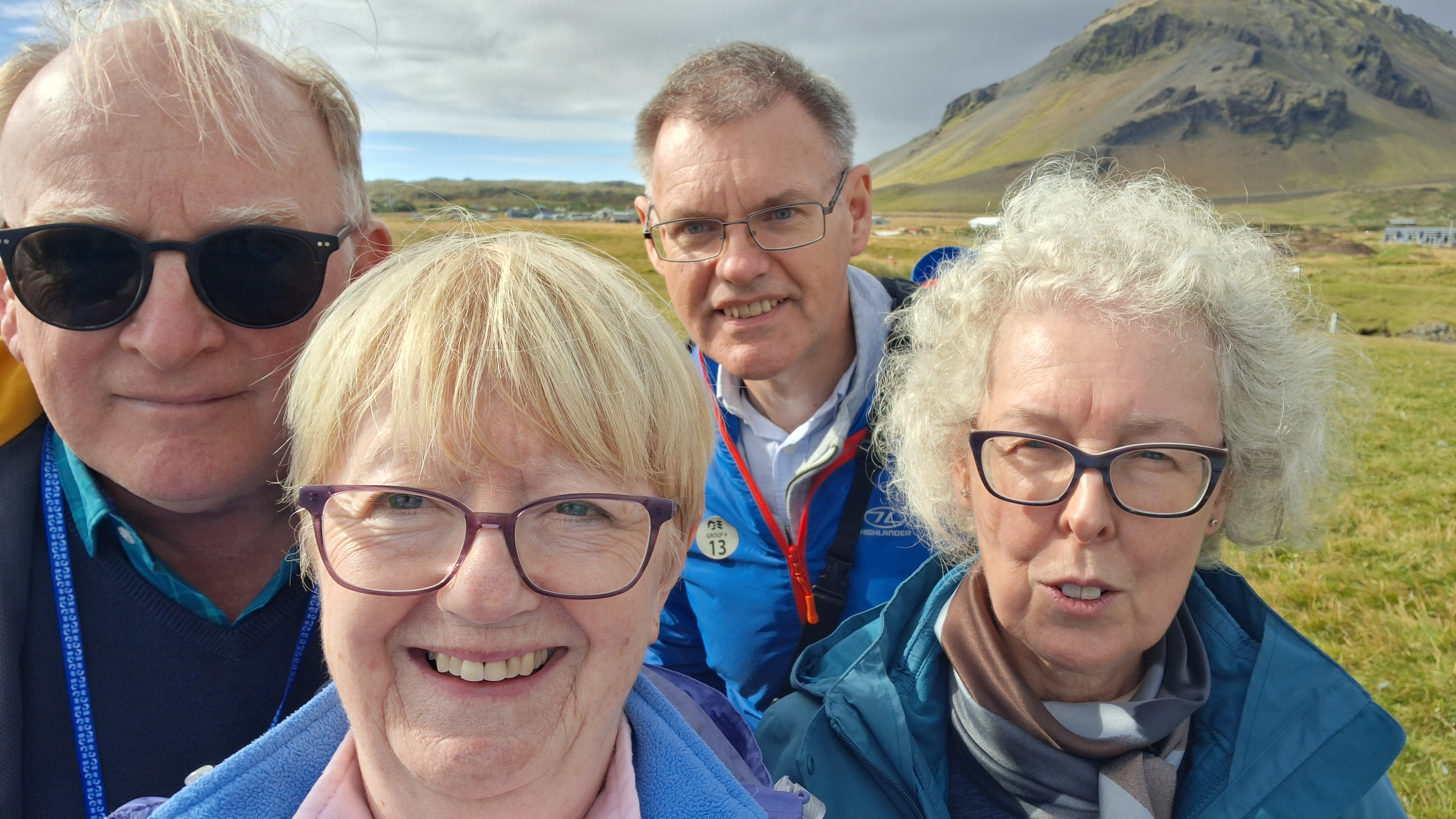
This was our second stop in Iceland. Once more we decided to take one of the excurions organised by Princess Cruises and were joined on this one by Nick and Carol.
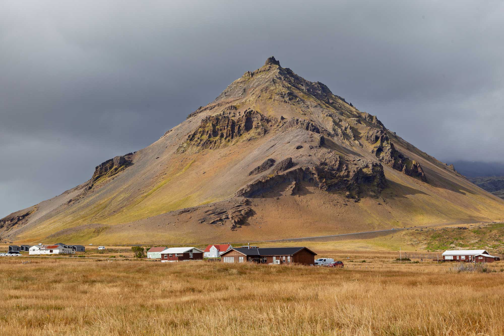
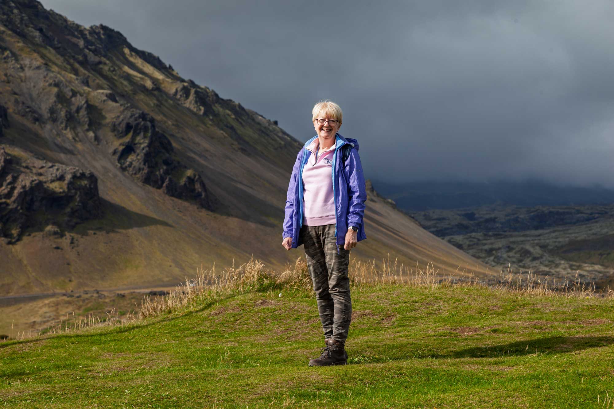
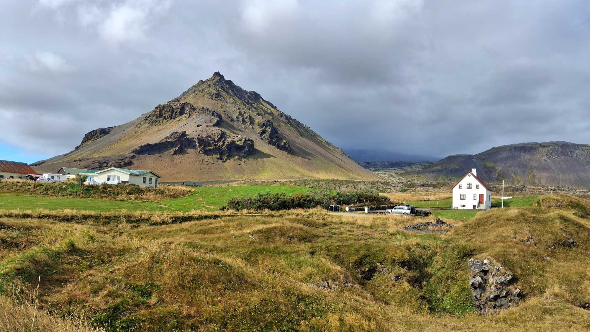
The excursion took us to various scenic spots along the Snæfellsnes Peninsula. Our first stop was at near to Arnarstapi where we had a good view of Mount Stapafel. This mountain is a distinctive, pyramid-shaped volcanic mountain located on the southern coast of the Snæfellsnes Peninsula. Standing at 521 to 526 metres high, this striking peak is made of palagonite (hyaloclastite), a type of rock formed during subglacial volcanic eruptions.
At the summit rests Fellskross (the Mountain Cross), a rock block historically treated as a sacred Viking symbol of holy powers. According to local folklore the mountain serves as a home for the Huldufólk (hidden people, or elves).
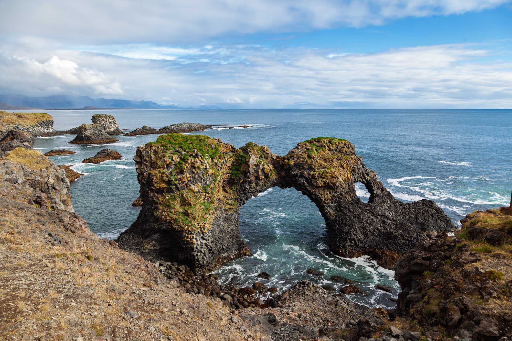
Just a little further down the coast to the south is the Gatklettur which is a spectacular, naturally formed basalt sea arch. The arch is composed entirely of volcanic basalt lava. Over thousands of years, the pounding ocean waves eroded the weaker portions of the cliffside, leaving behind a perfectly circular "window".
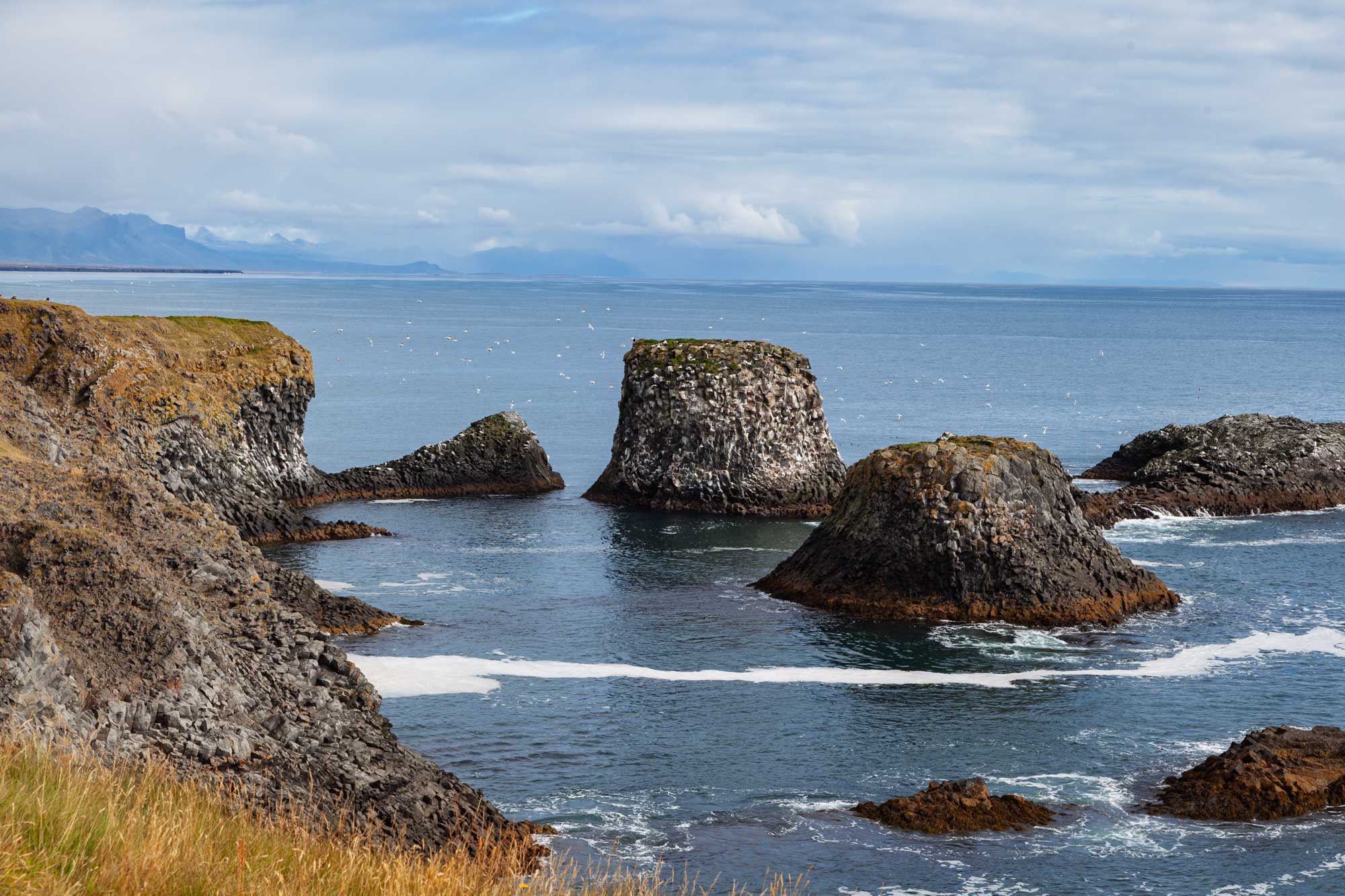
The cliffs surrounding Gatklettur serve as a major nesting ground for dense colonies of seabirds, particularly kittiwakes, razorbills, and fulmars during the summer months.
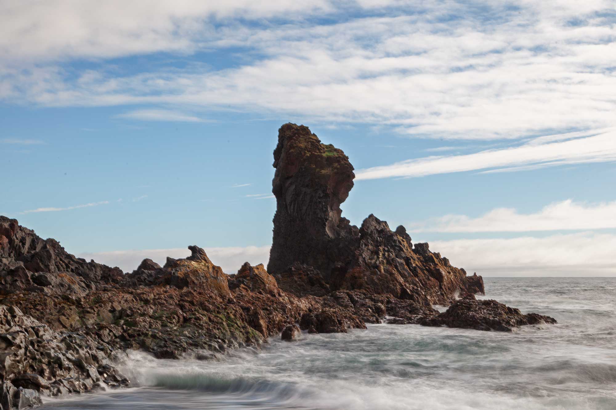
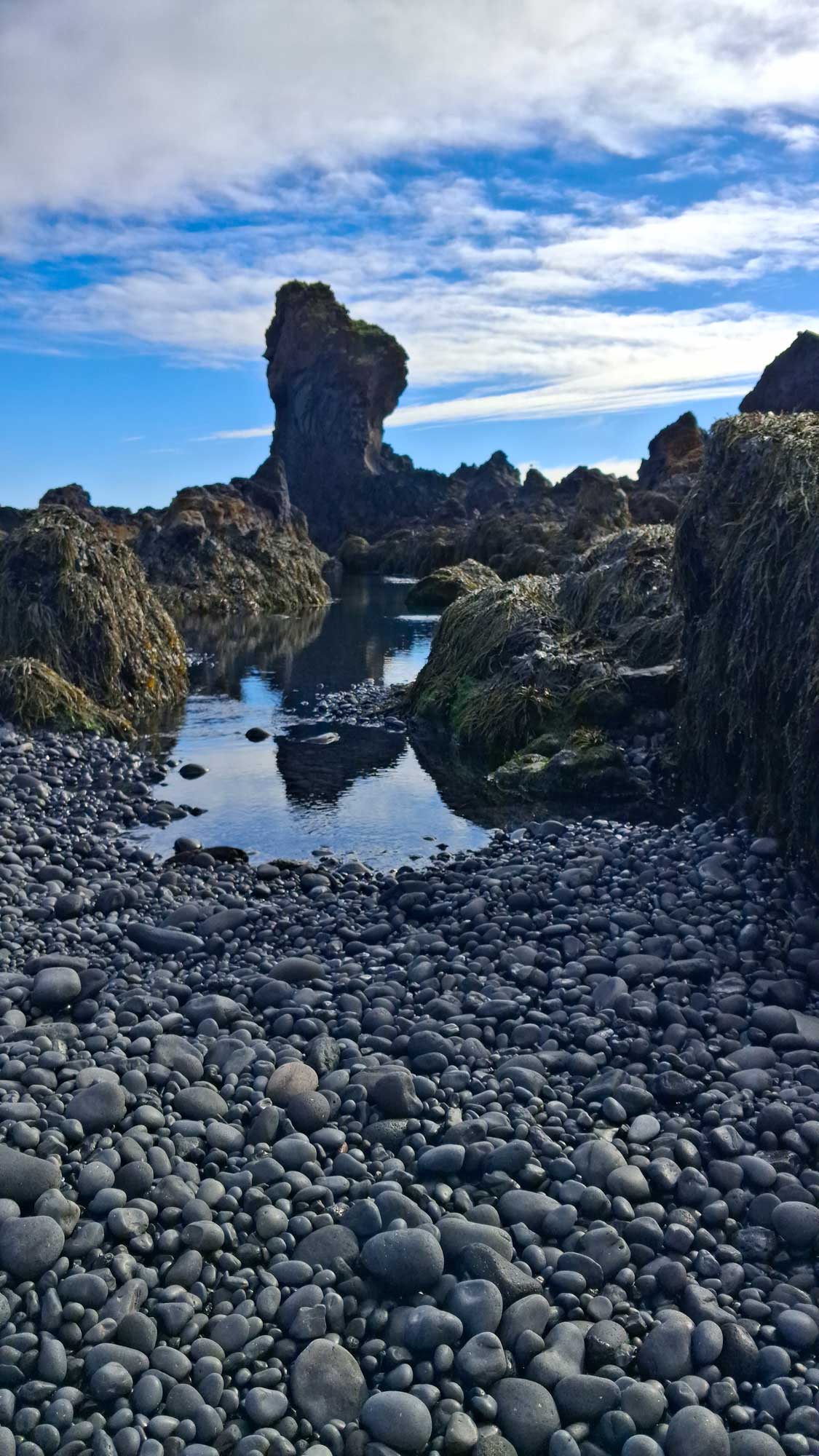
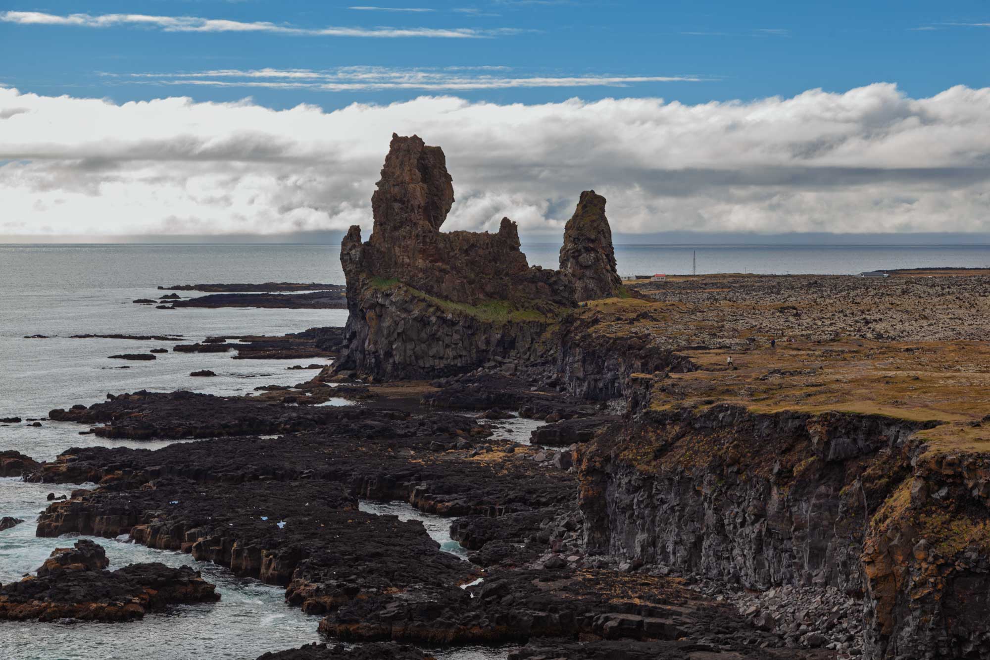
We also went to Djúpalónssandur - a dramatic, hauntingly beautiful black sand and pebble beach. Its name translates to the "Sands of the Deep Lagoon," referencing the nearby freshwater lagoons nestled in the ancient lava fields. We were amazed at the smoothness of the tiny black pebbles on the shore as well as the geological features such as the stack in the next two photographs.
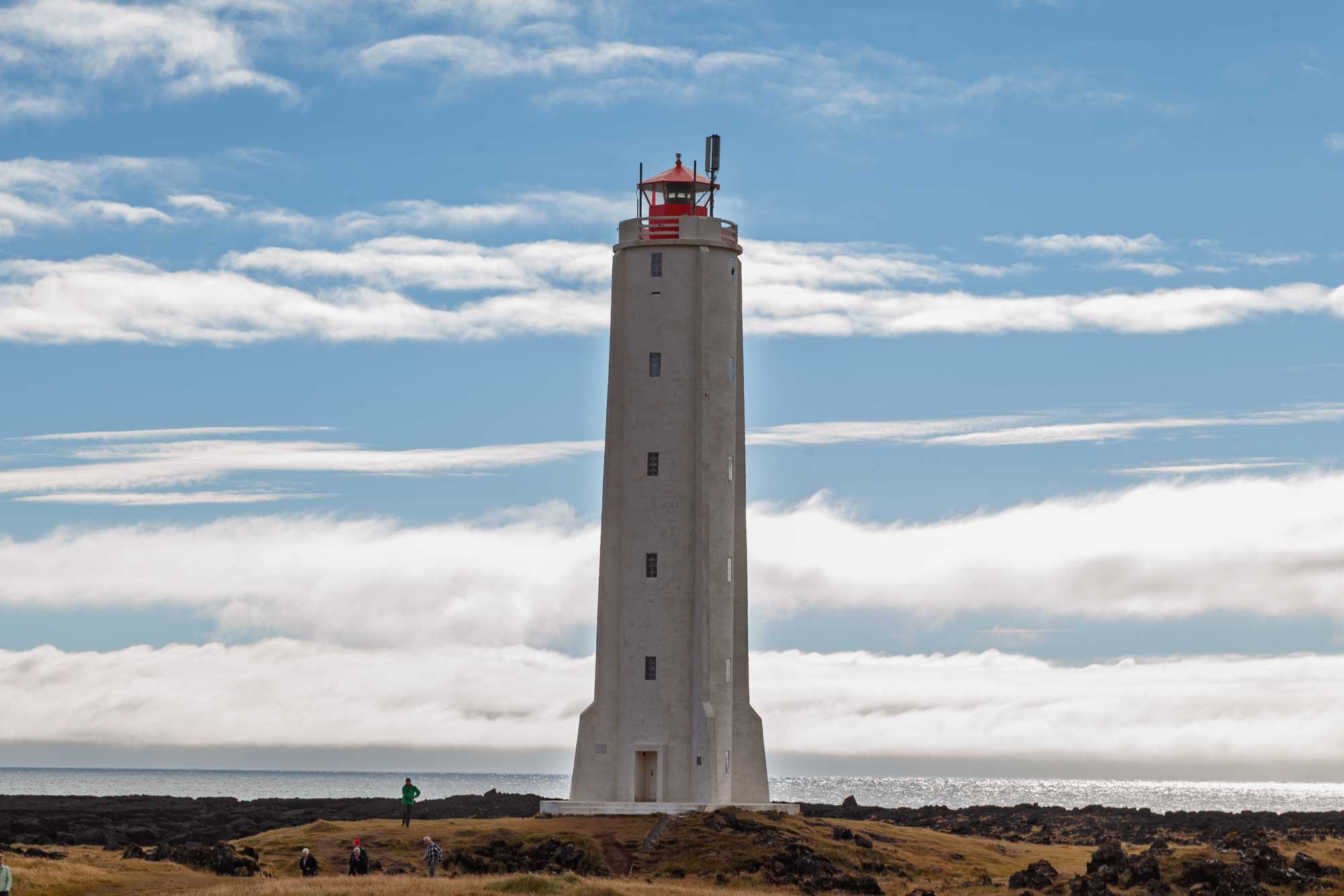
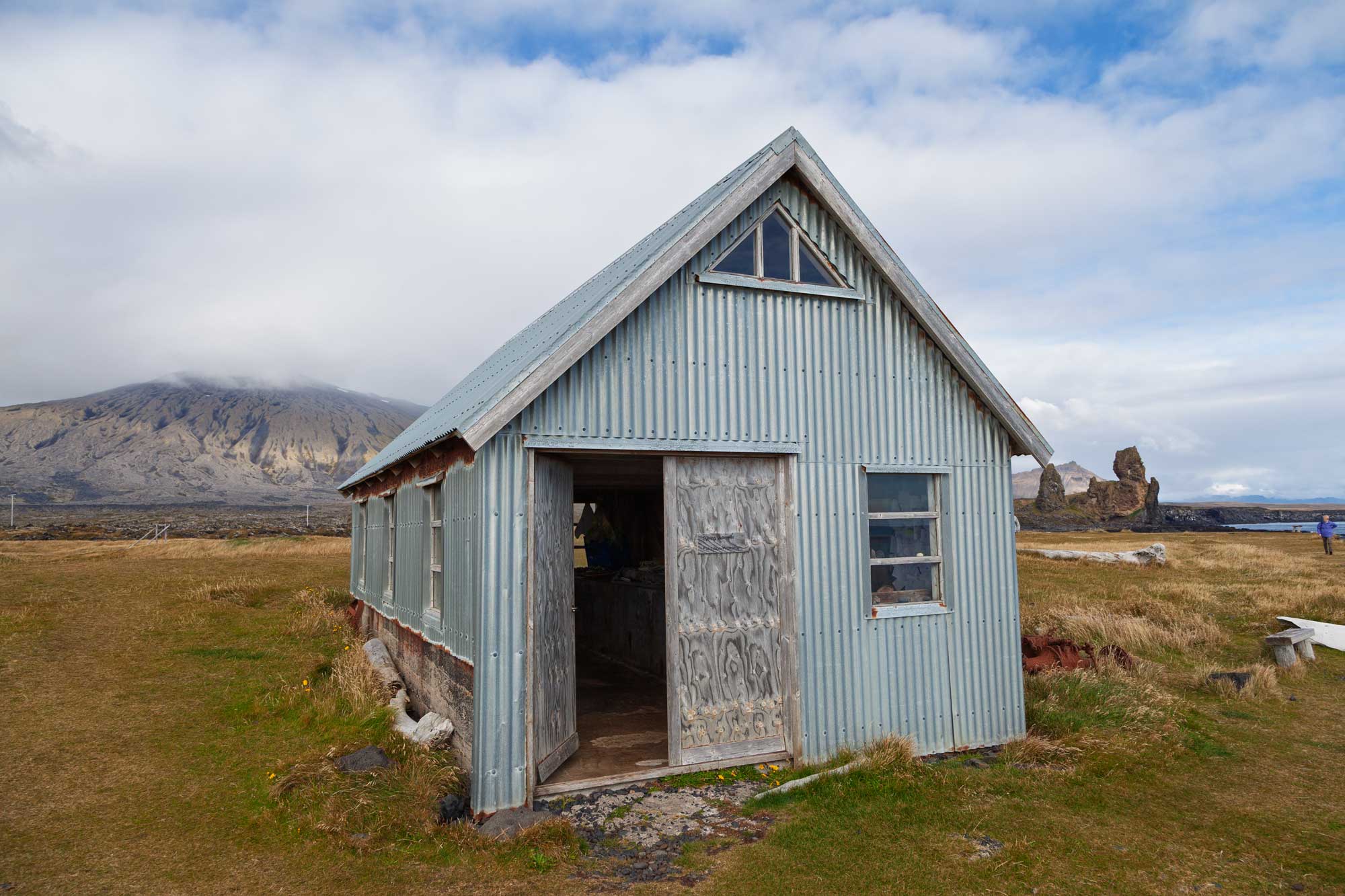
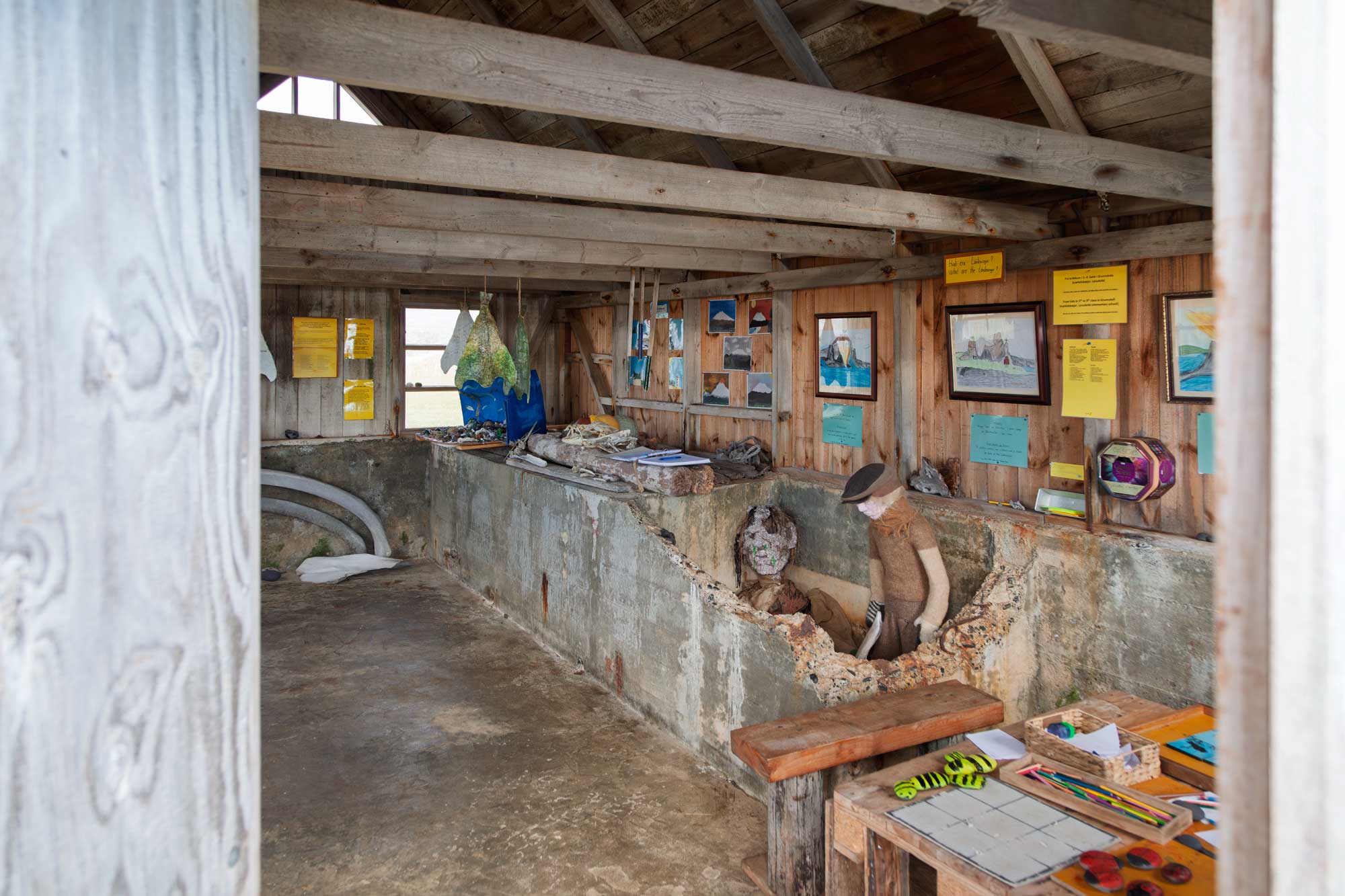
Whilst we were walking near to the lighthouse, I came across this rather strange dilapidated hut which turned out to be the host of a fishing exhibition.
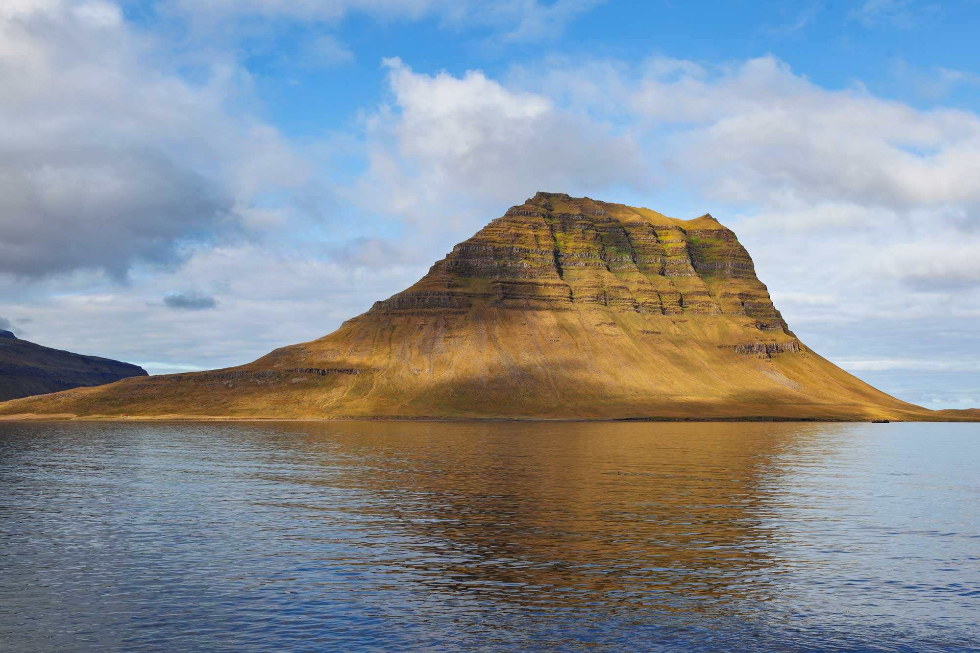
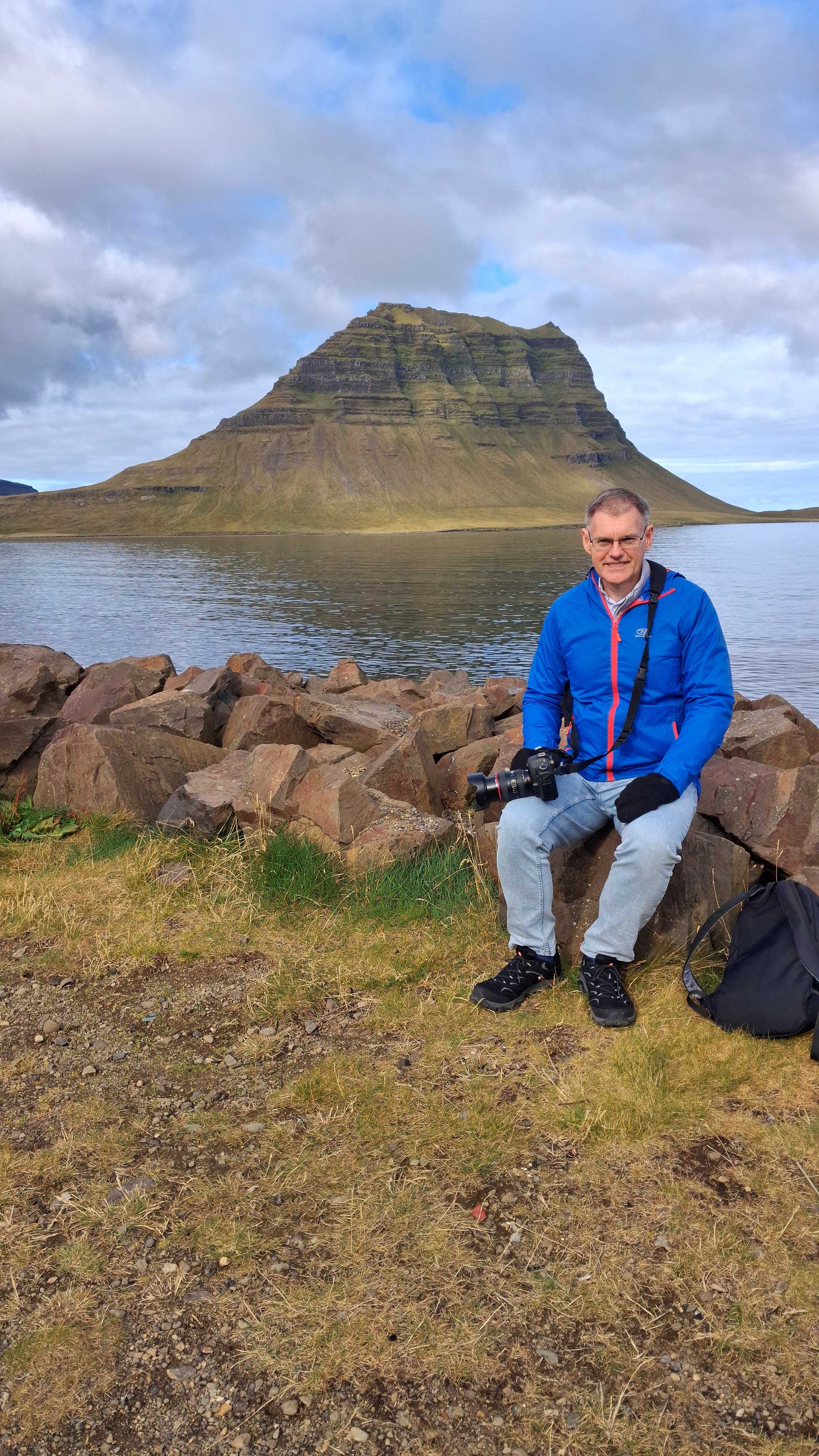
Grundarfjordur itself has good views of Church Mountain which our guide told us was the most photographed mountain in the whole of Iceland:
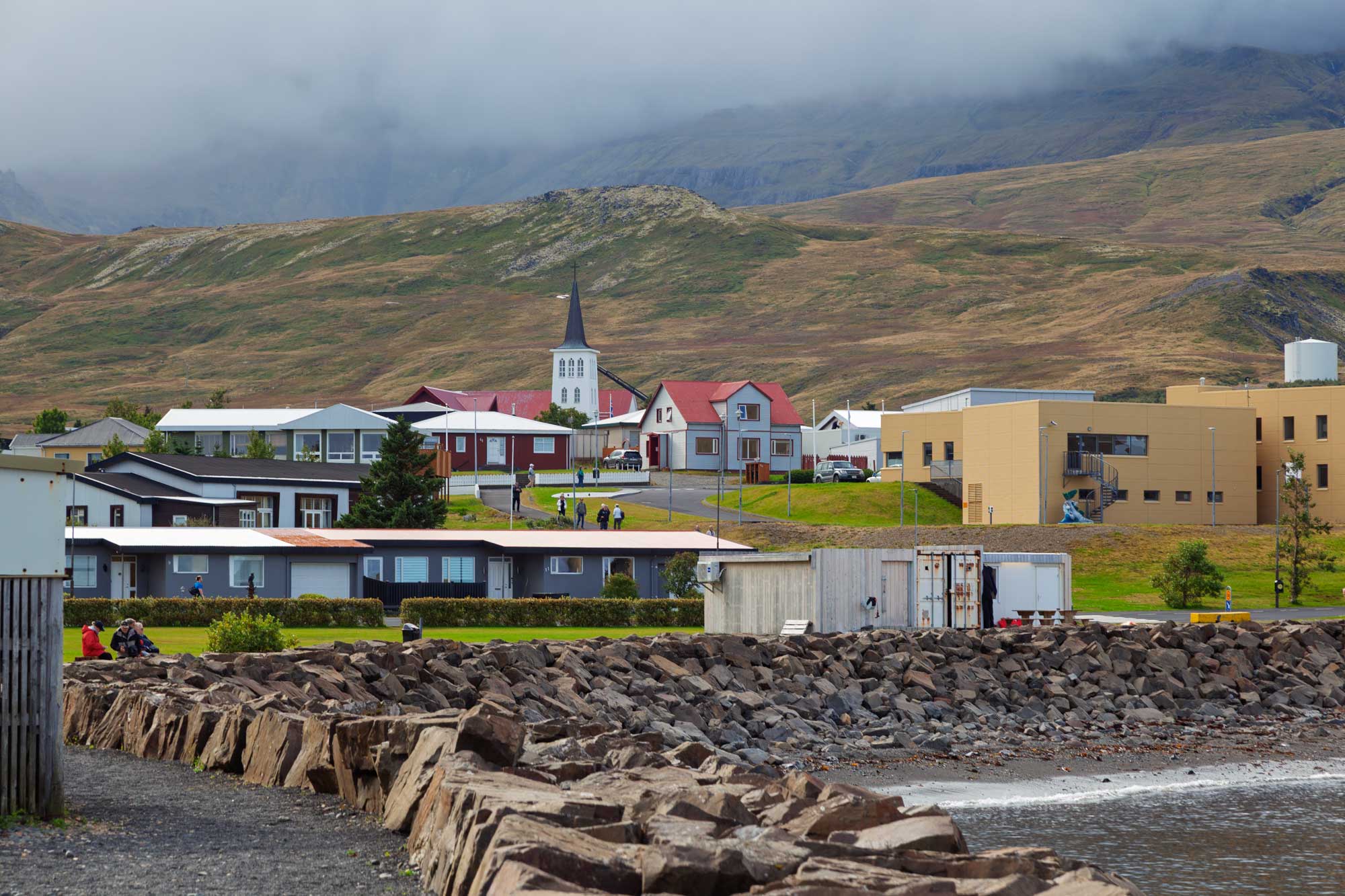
Finally, a view of the small town of Grundarfjordur:
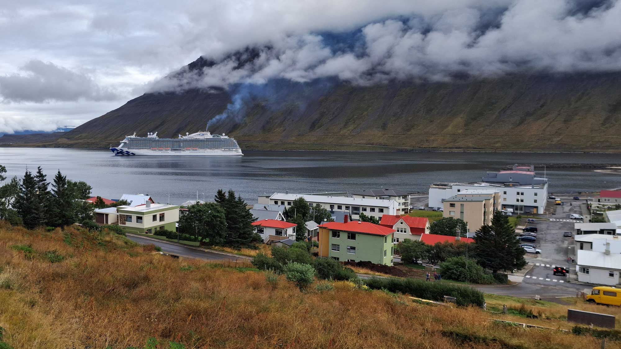
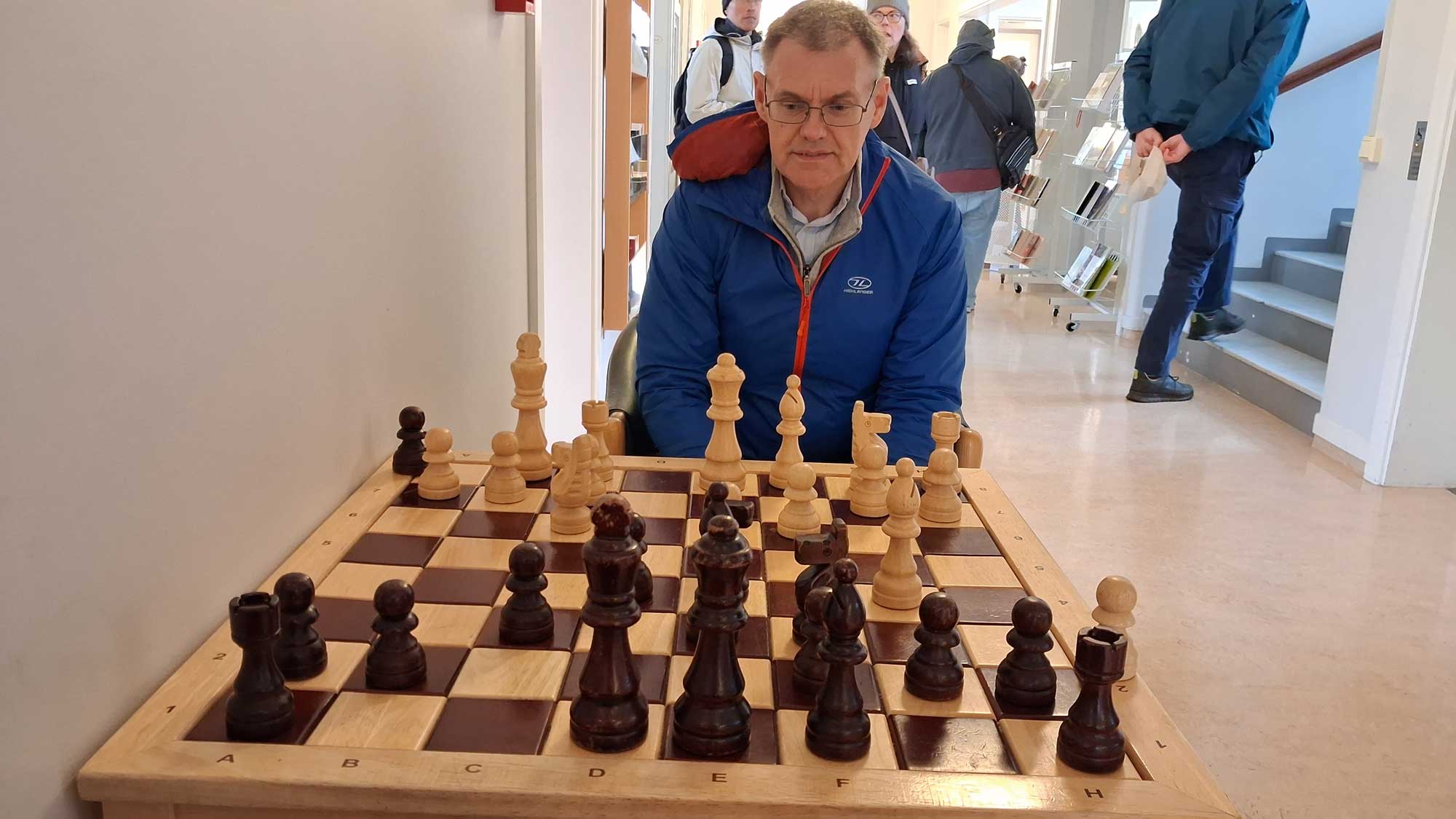
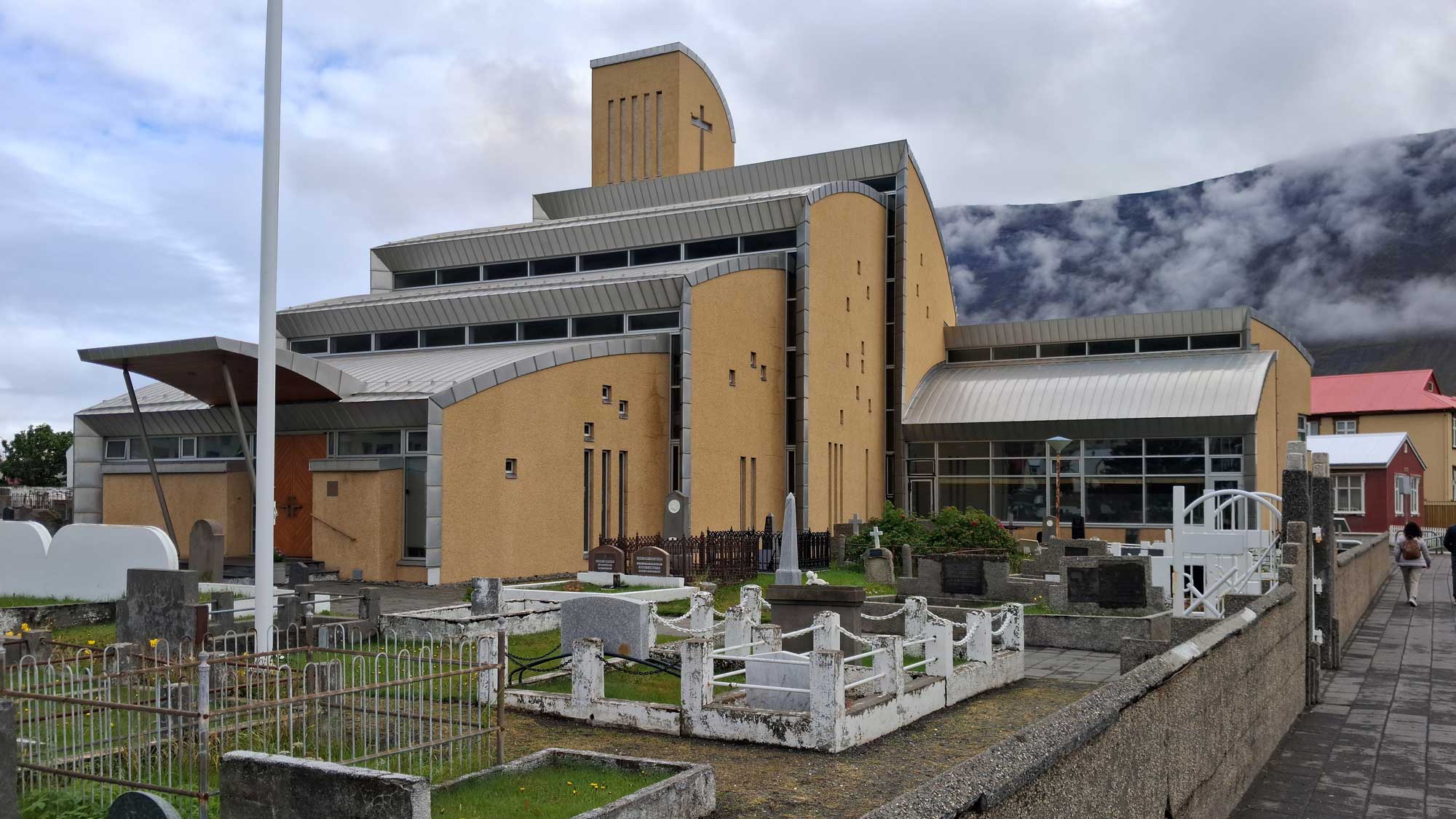
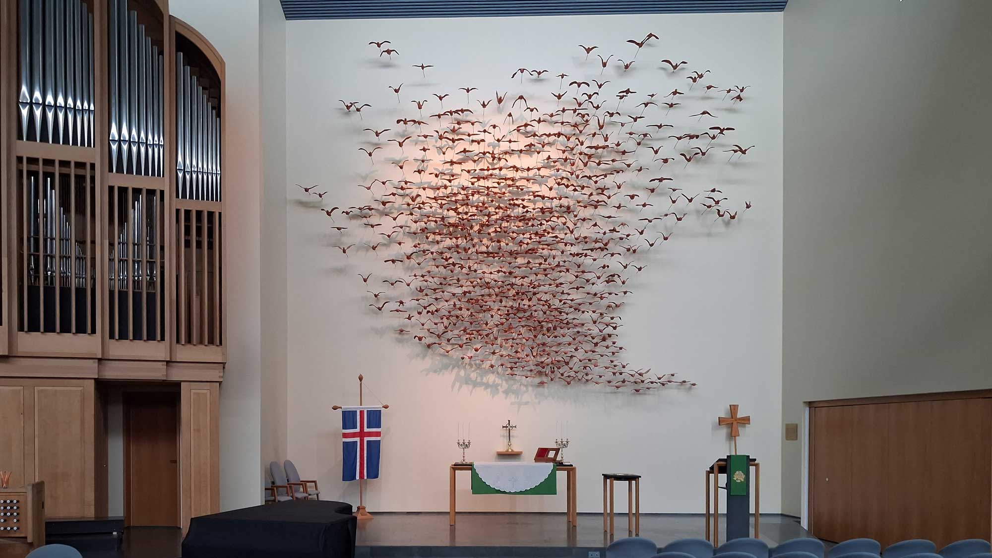
Isafjordur (which translates into English as Ice Fjord) lies just a few miles south of the Arctic Circle. We decided to have a relatively restful day, avoiding going on an excursion, and just have a stroll around the town. In doing so we stumbled across a cultural centre, which, to my delight, had a large chess set and table. Pat and I took the opportunity to have a game. I won't tell you who won, other than it wasn't Pat! (It makes up for her beating me multiple times at table tennis onboard ship)
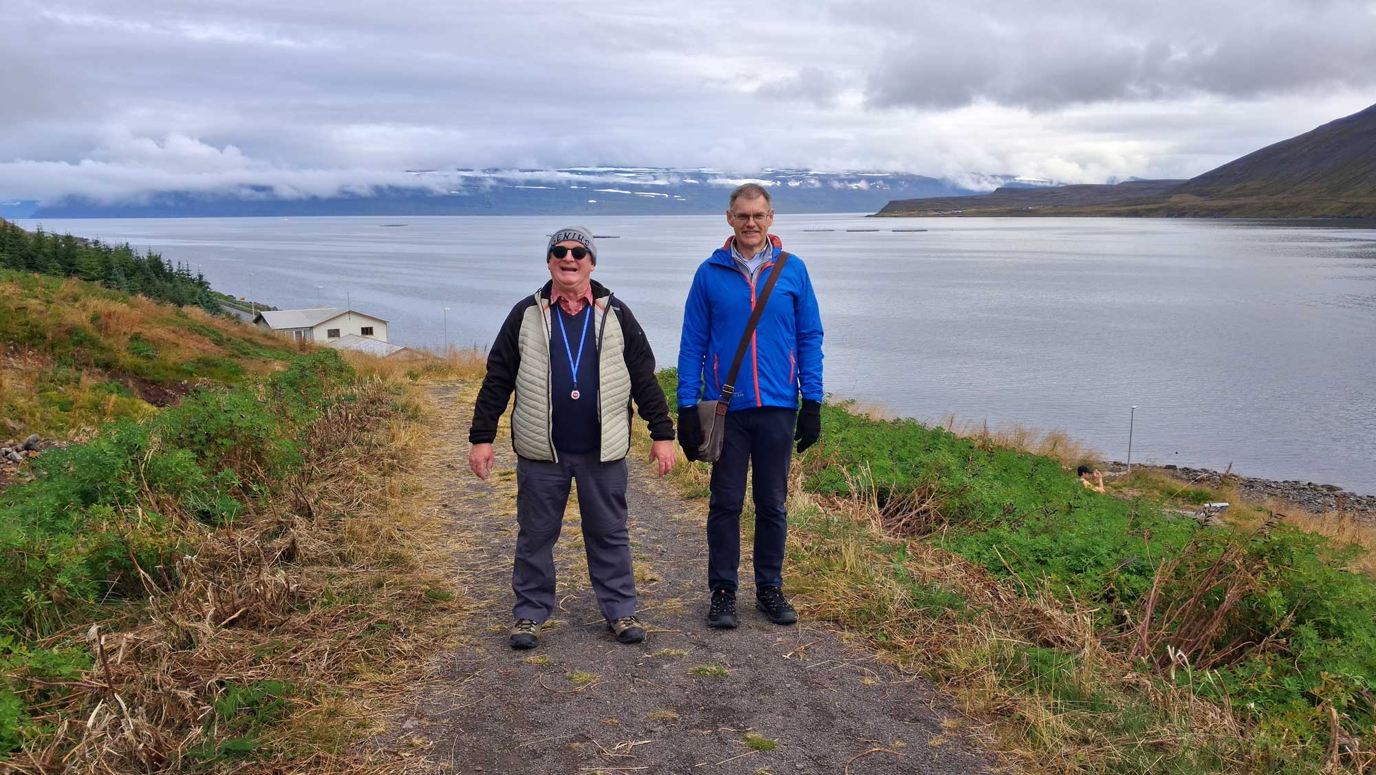
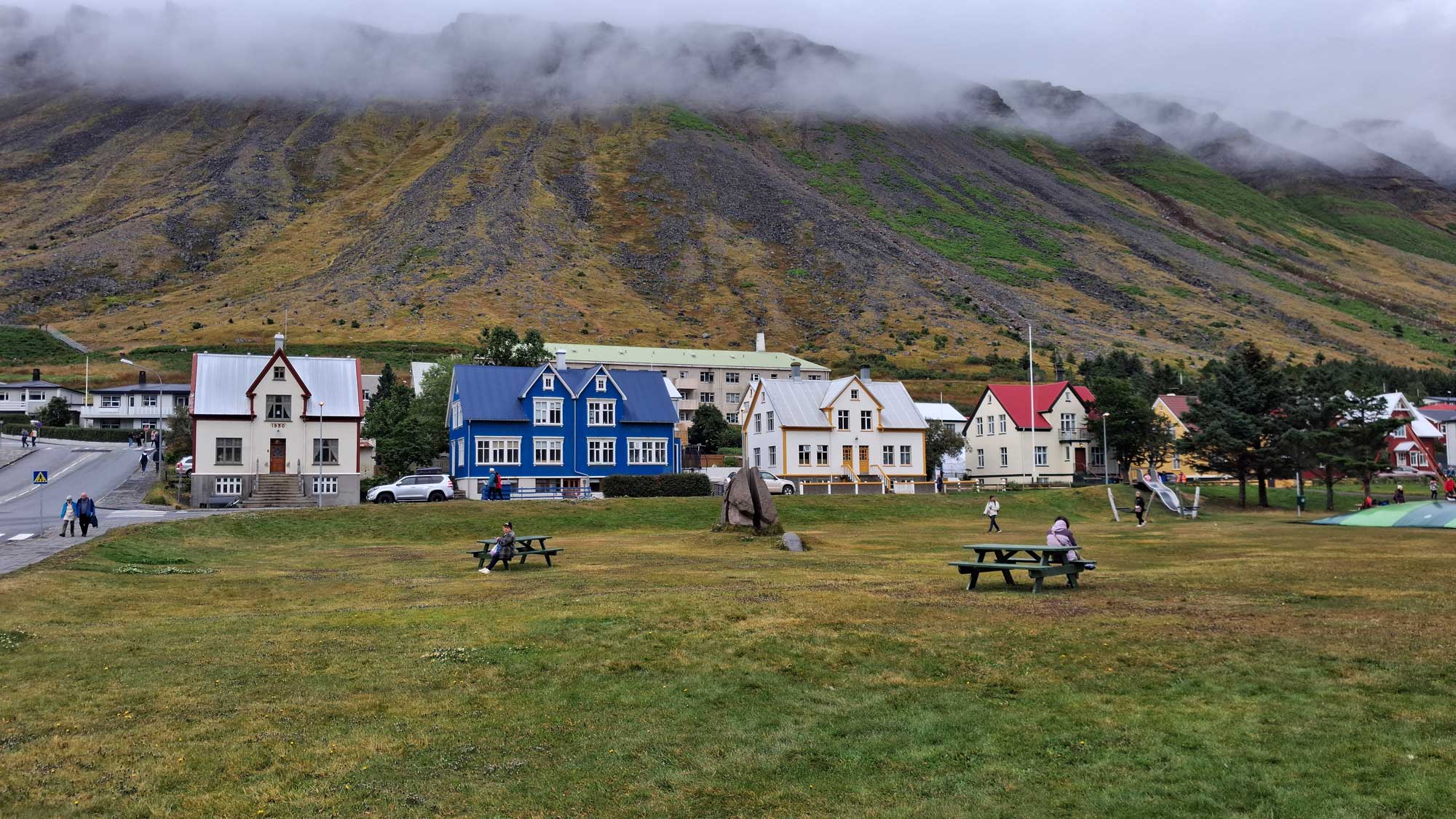
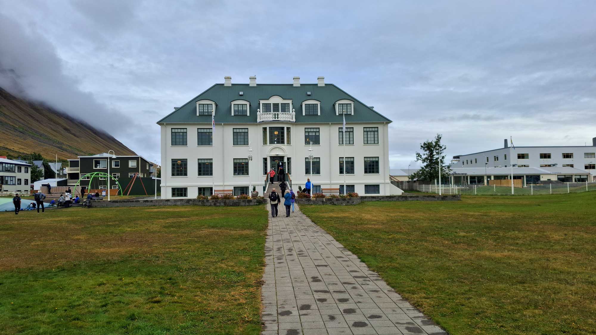
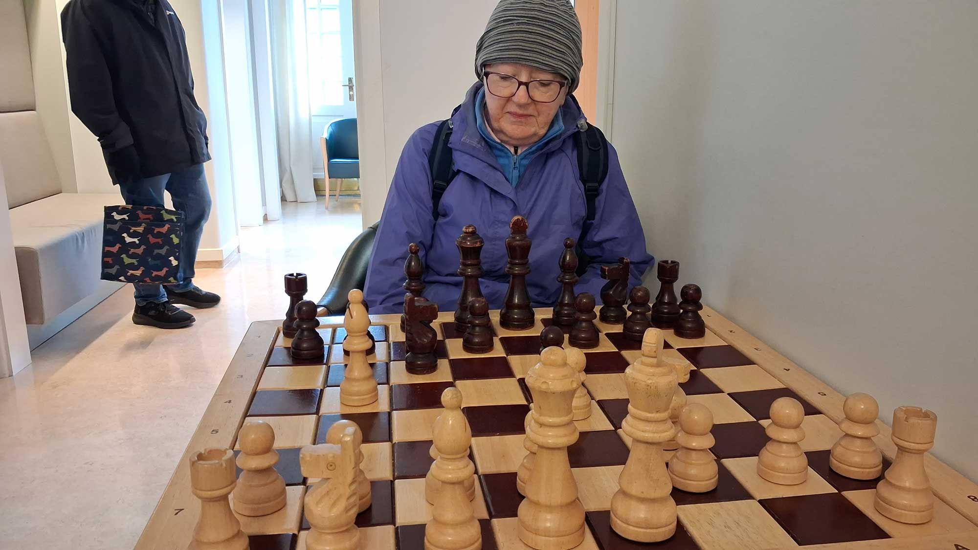
It's very hard to say which is the best trip we've done whilst we've been on holiday. Up to now I would have definitely said the trip from Reykjavik, but the one we took today from Akureyri might just have taken the prize.
Our first stop was the spectacular waterfall of Goðafoss.
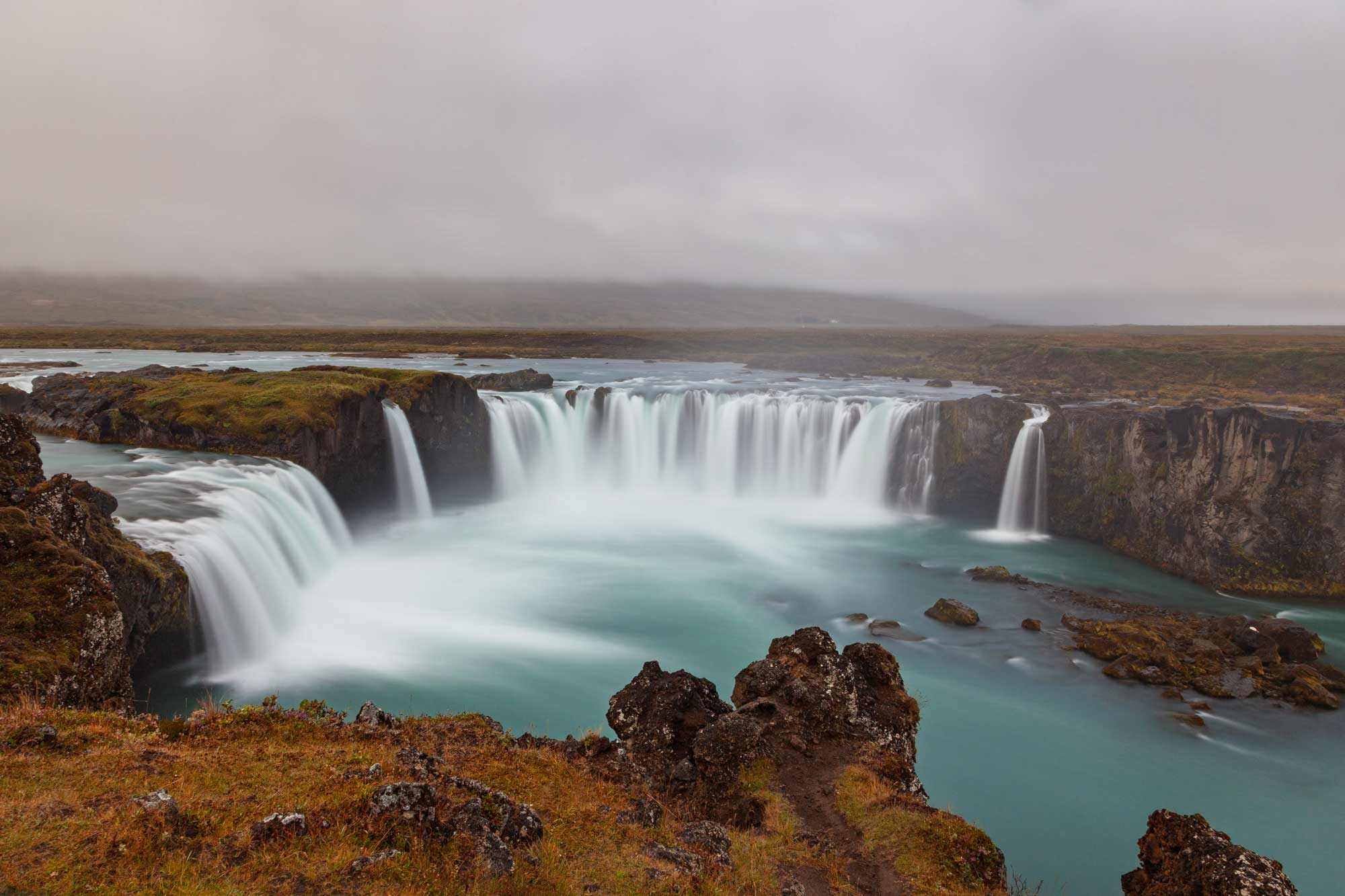
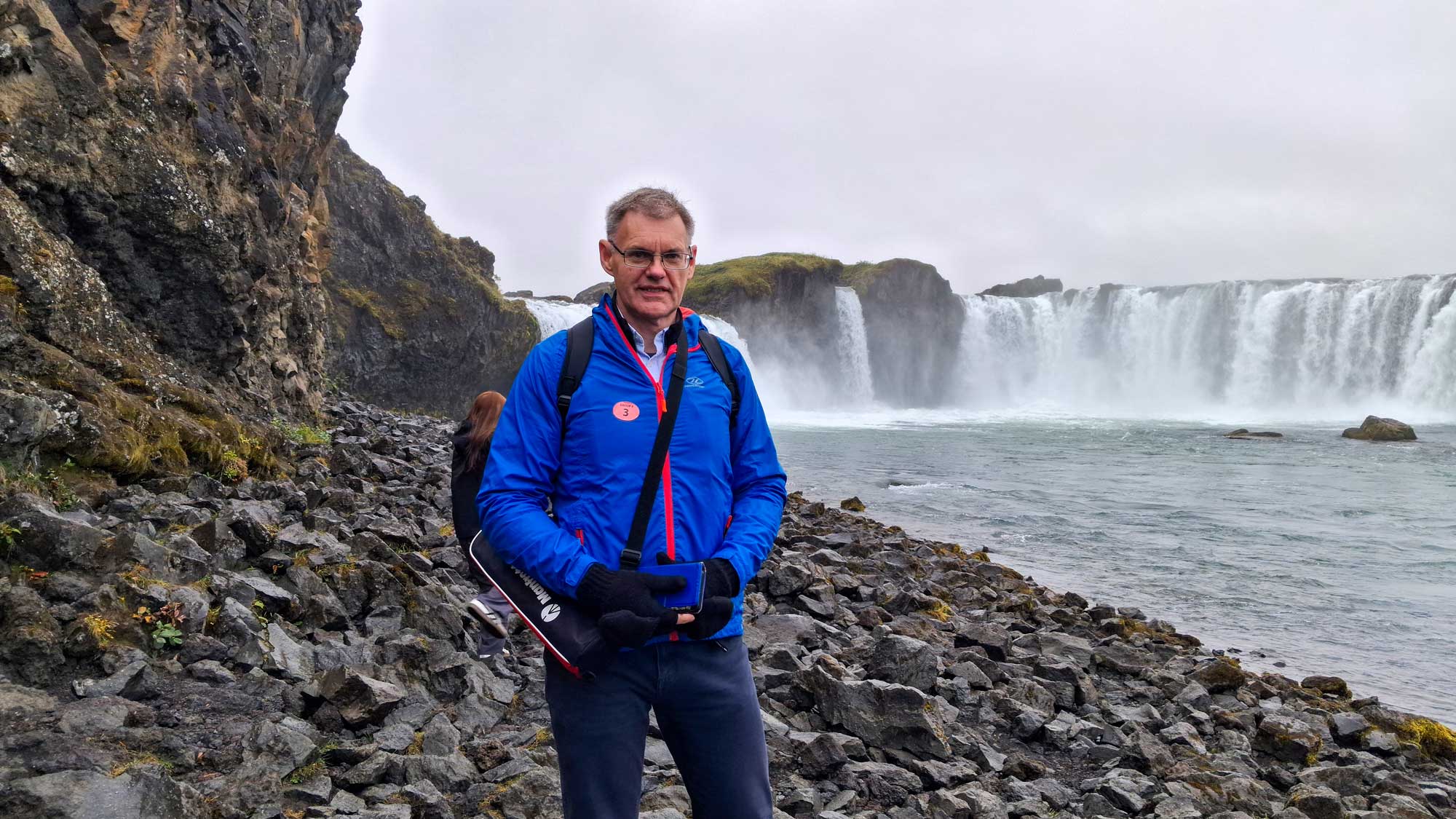
Goðafoss (translated as the "Waterfall of the Gods") is one of Iceland's most famous, beautiful, and historically significant natural landmarks. Whilst it is not as high as some of the other waterfalls in Iceland, what makes it impressive is its width and distinctive horseshoe shape. It is fed by the Skjálfandafljót River, Iceland's fourth-longest river, which flows all the way from the northern highlands and runs through a 7,000-year-old basalt lava field.
The name Goðafoss is deeply intertwined with the official Christianisation of Iceland:
In the year 1000 AD, the country faced a critical turning point as pressure mounted from mainland Europe to convert from Norse paganism to Christianity.
Þorgeir Ljósvetningagoði, a local chieftain and the elected Lawspeaker of the Icelandic parliament (the Alþingi), was tasked with making the final decision. After meditating silently under a fur blanket for a day and a night, he declared that Christianity would become the official state religion, though pagans could still practice privately.
To publicly and symbolically seal his decision, Þorgeir returned to his home in the north and threw his wooden statues of the old Norse gods (such as Odin, Thor, and Freyr) into the churning waters of the waterfall.
I'll add some videos of this and other places we've visited when we get back home. It's difficult to do this whilst we are at sea because of the poor internet connection. So, do come back to this page in a couple of weeks or so.
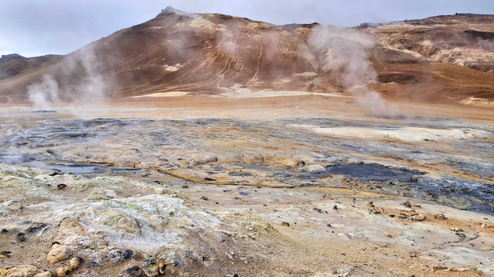
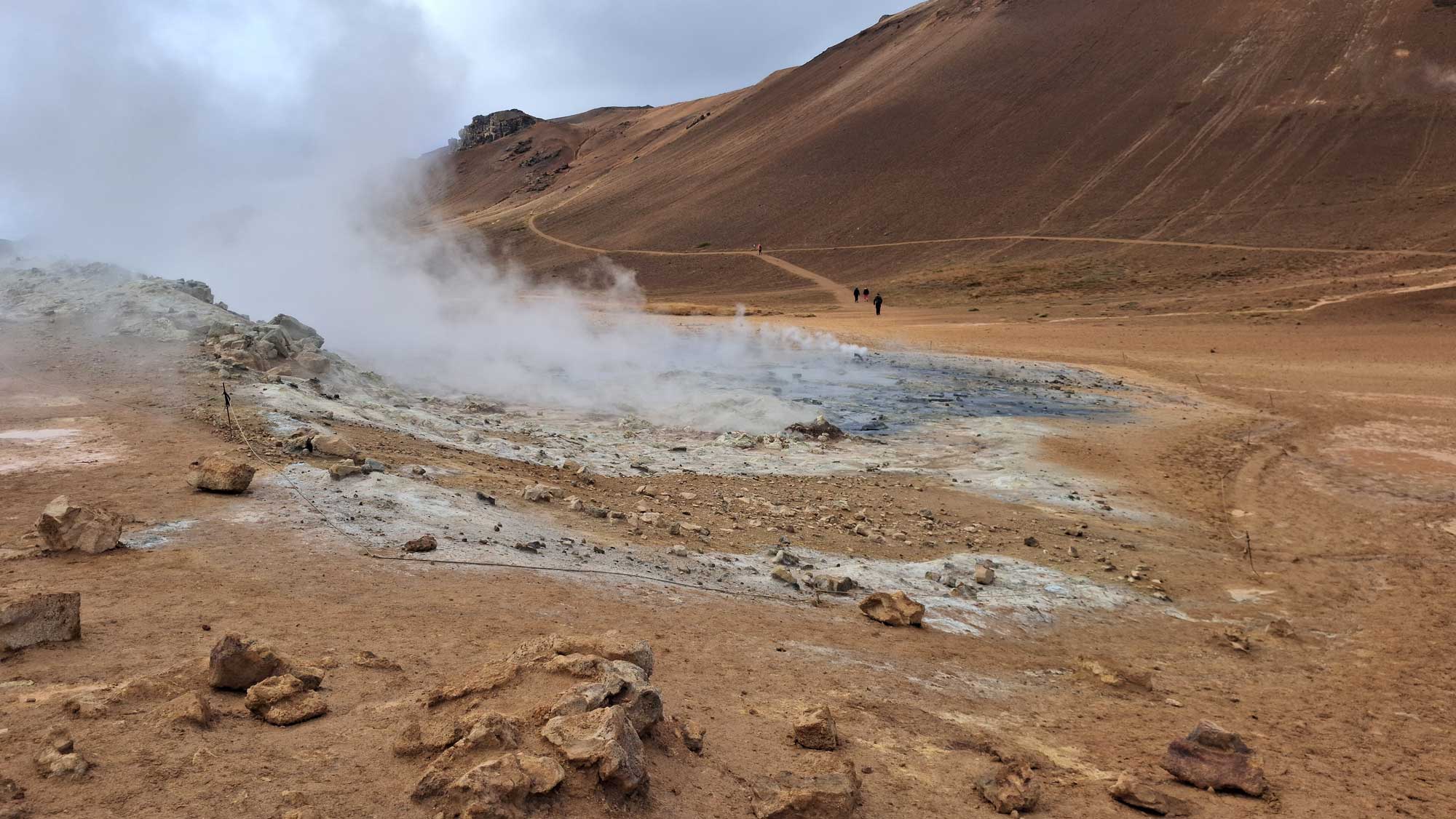
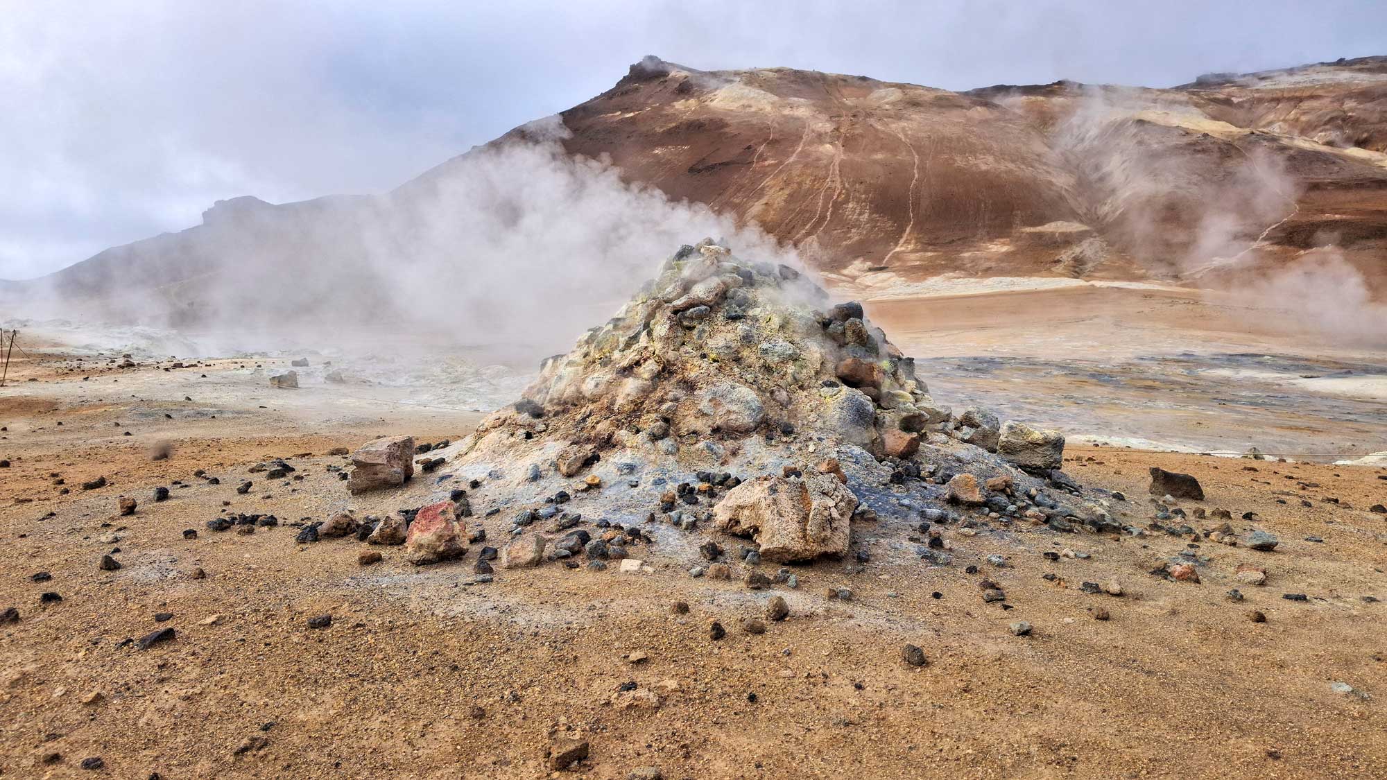
We then travelled on to the bubbling, muddy, and intensely sulphuric pools at the Hverir Geothermal Area. We thought the landscape was like being on Mars or some other planet.
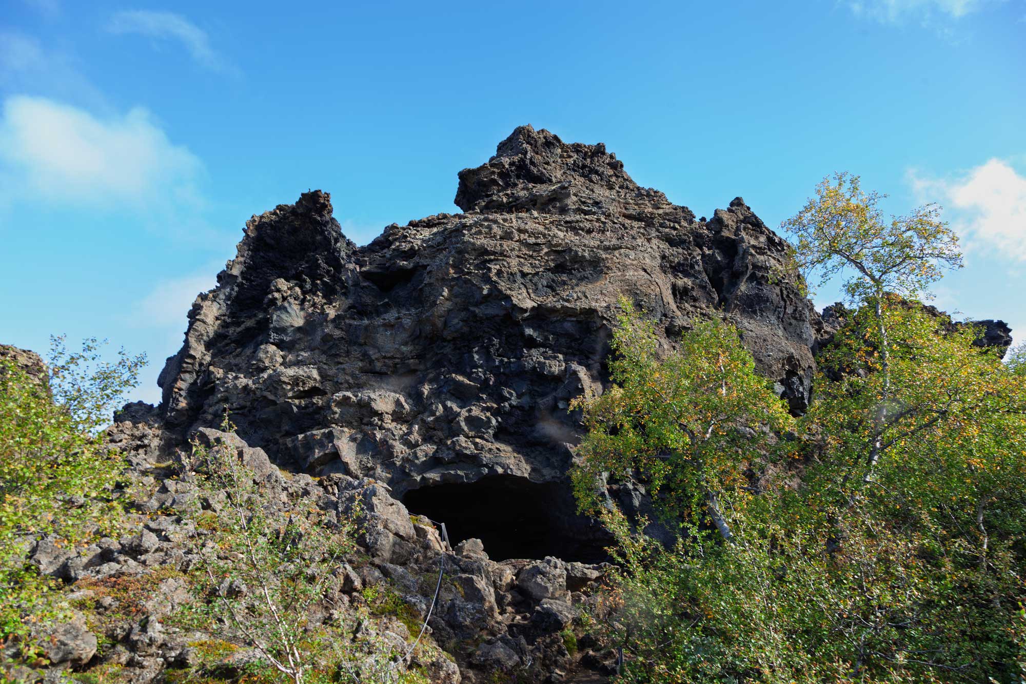
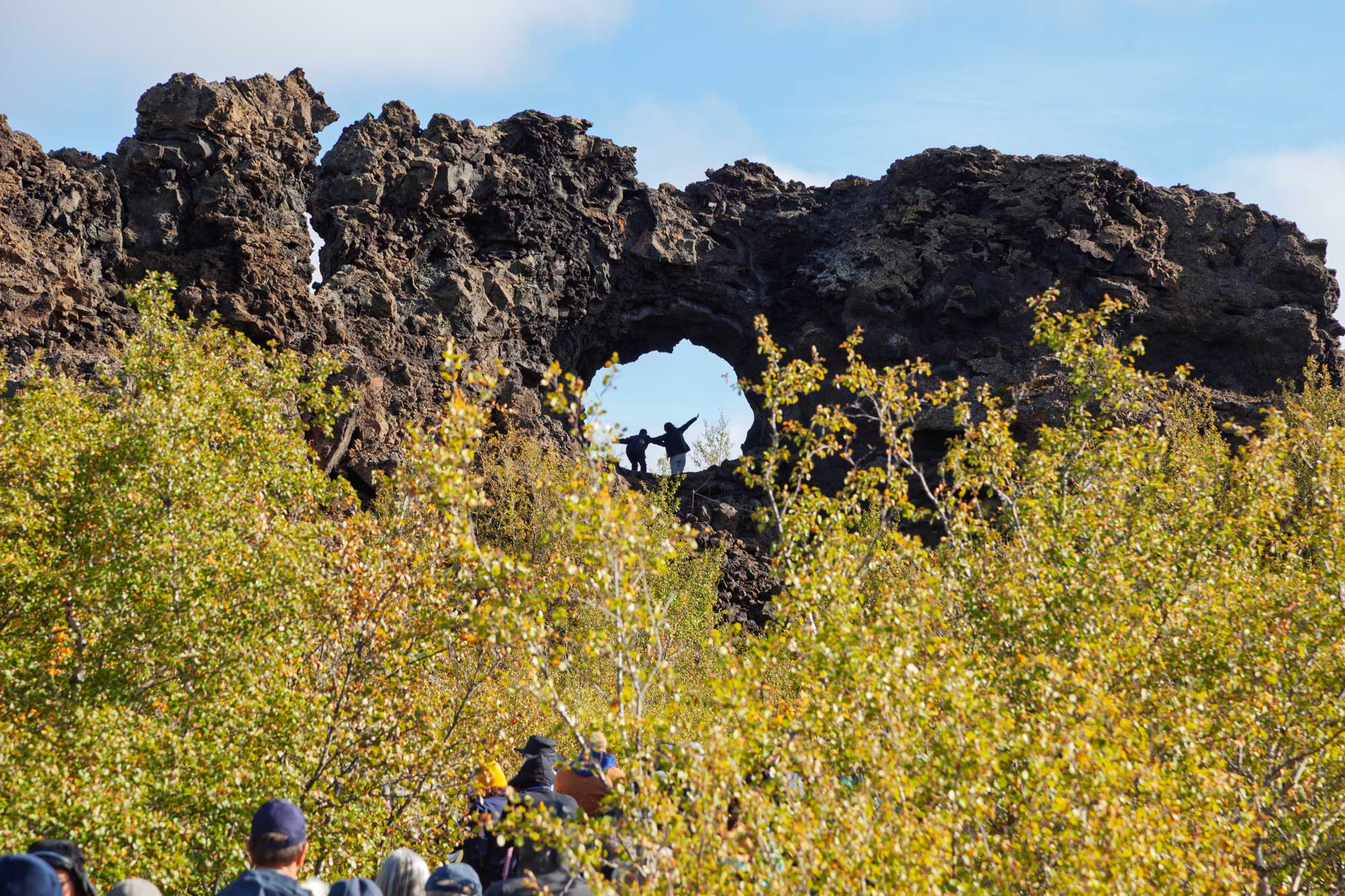
Iceland doesn't just have Santa Claus. They have the Jolasveinvarnir (Yule Lads) who live in Dimmuborgir. They are a band of thirteen mischievous brothers who, according to modern folklore, live in the lava labyrinth near Lake Mývatn. Unlike the jolly, singular Santa Claus, these brothers are historical pranksters and petty thieves born from troll ancestry. Each brother is named after his specific brand of mischief or food-stealing obsession. They take turns visiting towns, arriving one by one each night starting on 11th December.
For the 13 nights leading up to Christmas Eve, children leave their best shoe on their bedroom windowsill. The Yule Lad visiting that night leaves a small gift if the child behaved well. If the child has been naughty, they wake up to find a single raw potato.
In the summer, the Lads mostly sleep in their hidden cave (Jólasveinahellirinn), where hikers can find their lava beds and laundry hanging out to dry.
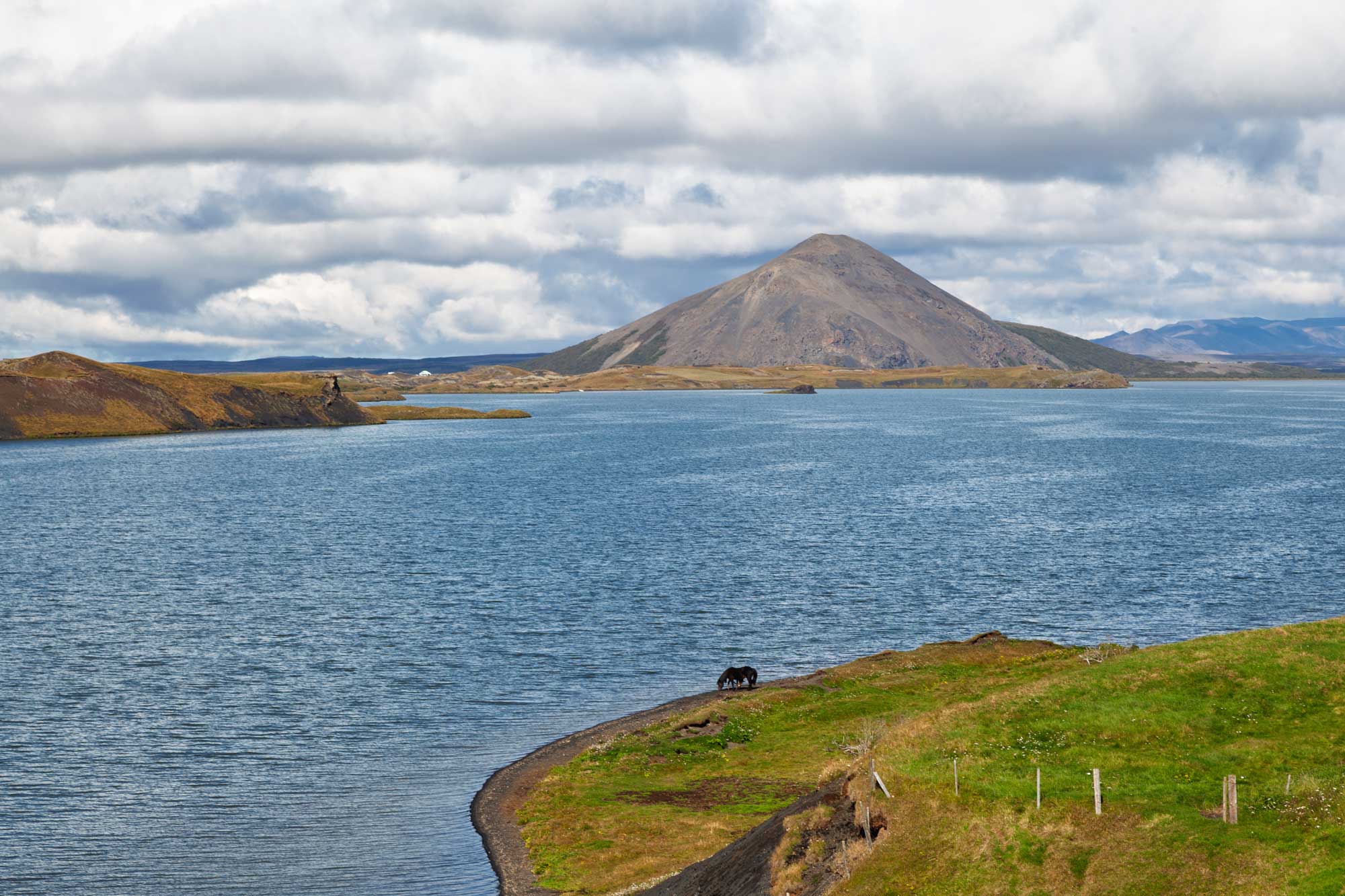
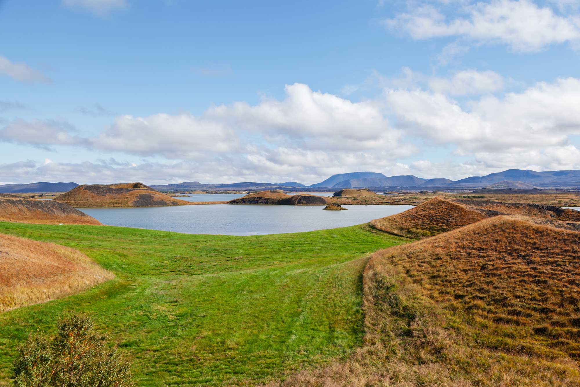
Here are some photos of our visit to Dimmurborgir:
Unfortunately we encountered a storm on leaving Akureyri and the Captain took the decision to abandon the idea of trying to land in the Shetland Islands. He thought that he couldn't drive the ship through the storm at a safe enough speed to meet the timeslot for landing in Lerwick and, even if he could, we wouldn't have been able to use the tender boats to get to off board. Therefore, no Shetland for us this year! An extra day at sea and next stop is Kirkwall in the Orkney Islands.
Having skipped the Shetland Islands, we arrived safely in Kirkwall, Orkney, this morning. The ship docked around 2 miles from the town centre and provided a shuttlebus to get us there. We headed straight for St. Magnus' Cathedral which was founded in 1137 by Earl Rognvald, the nephew of St. Magnus.
Magnus Erlendsson was the Earl of Orkney in the early 12th Century. He and his cousin, Hakon, shared the Earldom but they couldn't stand each other. To settle matters, they agreed to meet on one of the Orkney Islands (Egilsay). The arrangement was that they would both arrive with unarmed men on two ships, but Hakon didn't keep to his word and instead landed with eight shiploads of fully-armed mem.
Instead of killing Magnus himself, Hakon ordered his cook, Lifolf, to do the deed. Magnus died praying, killed by an axe blow to the head.
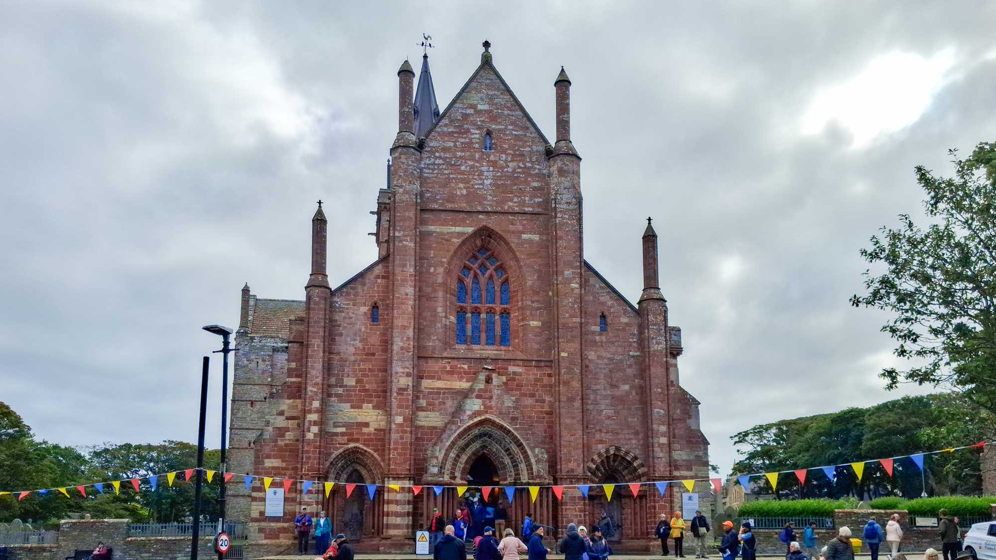
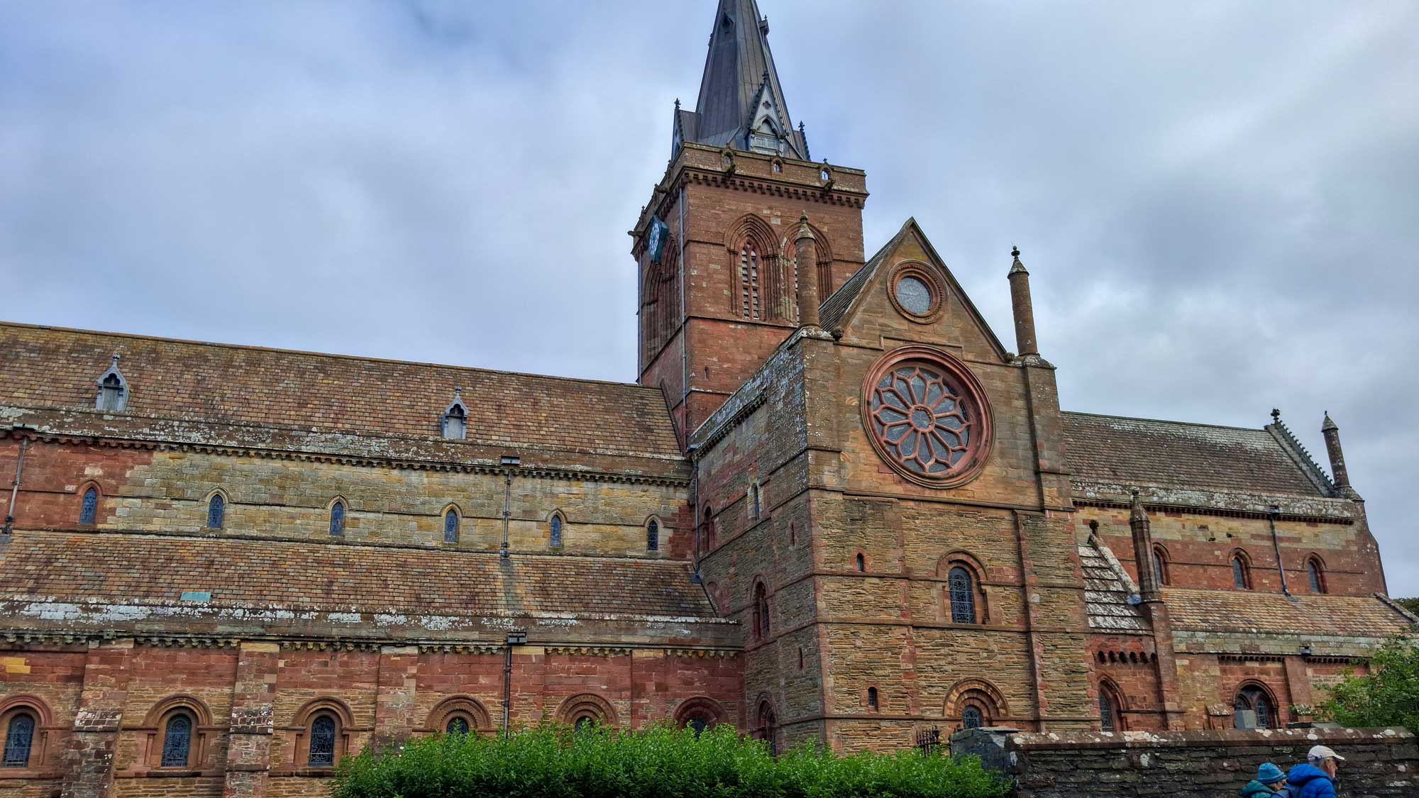
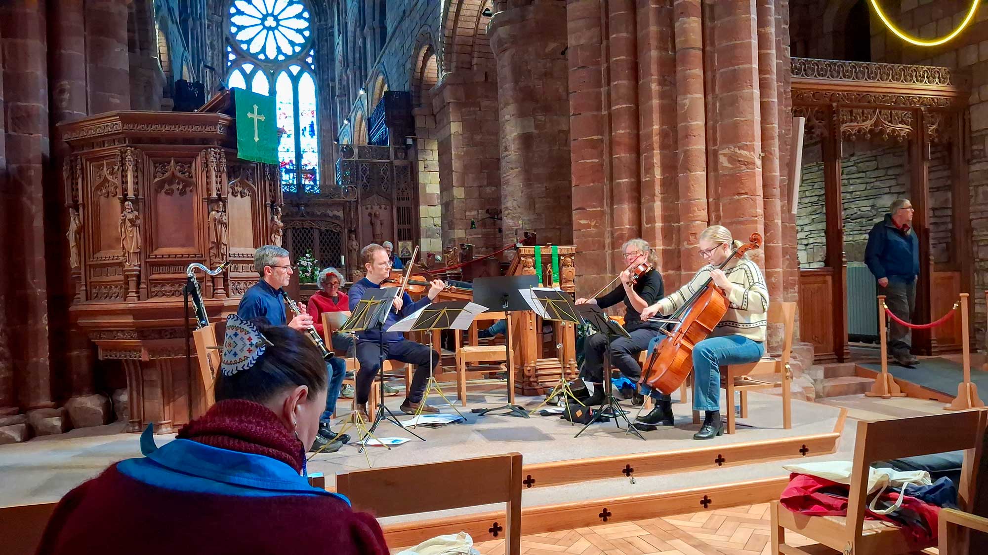
Close to the Cathedral are the ruinded palaces of the Bishop and the Earl.
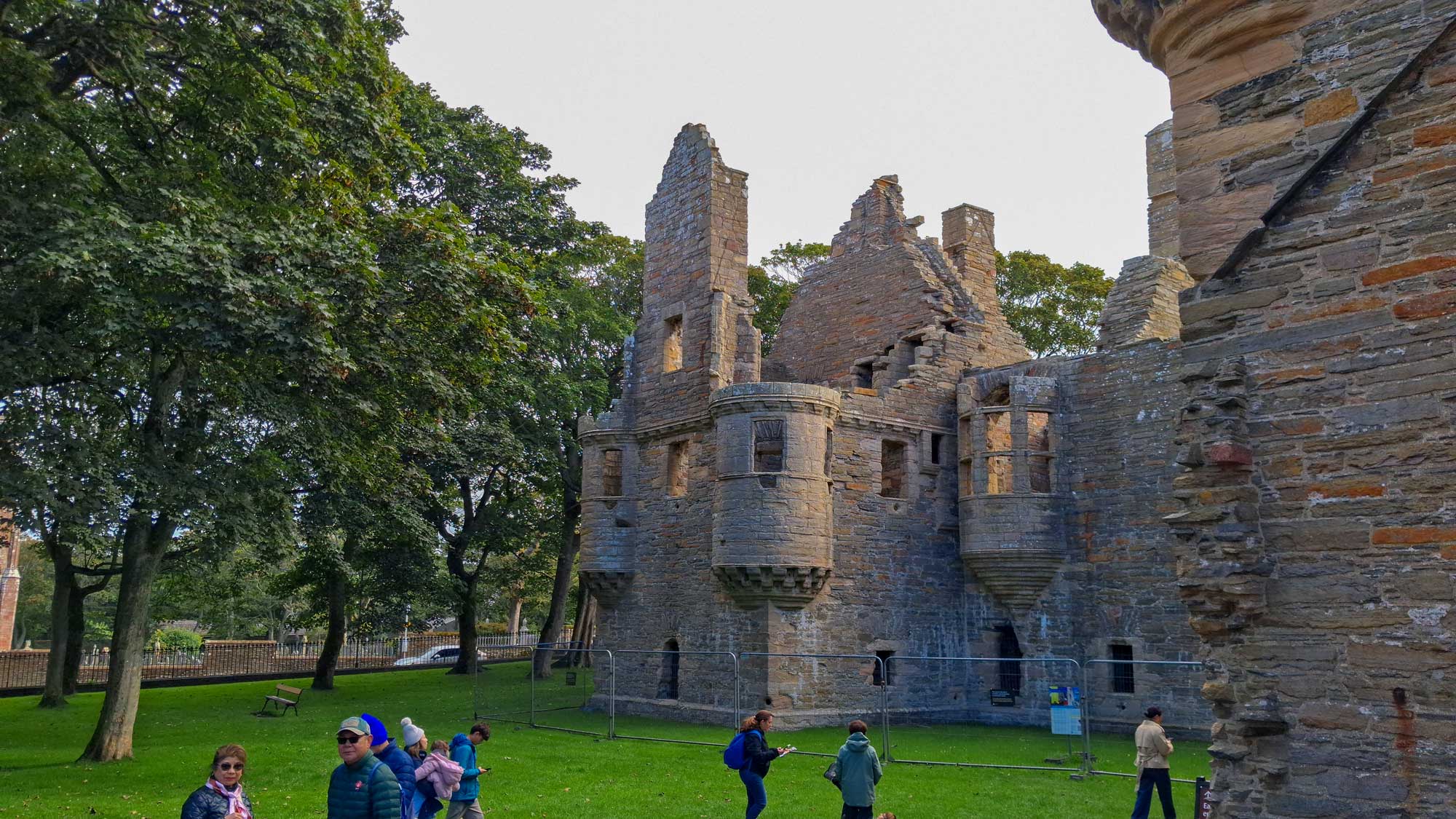
The Earl's Palace (pictured above) was built between 1601 and 1606 by Patrick Stewart who was Earl of Orkney at the time.
From there we walked back towards the town centre and went into the Orkney Museum which is housed in Tankerness House on Broad Street. It was a very impressive museum as its exhibits take up several floors and cover the history of the Orkneys from Neolithic times until the modern day.
I will leave you with one interesting fact which I found both interesting and suprising ... it wasn't until 1472 that Orkney became Scottish.
Orkney had been settled by the Vikings since around the 9th century and had existed as a Norse Earldom since those times. Then, in 1468, it was arranged for King James III of Scotland to marry Margaret of Denmark, the daughter of King Christian I of Denmark, Norway, and Sweden. To seal the marriage treaty, King Christian promised a dowry of 60,000 Rhenish florins. However, the Scandinavian crown was financially strapped. King Christian could only produce 2,000 florins in cash upfront. As security (a wadset or pledge) for the remaining 58,000 florins, he pledged his personal crown lands in Orkney. The agreement explicitly stated that once the debt was settled, control of the islands would revert to Norway. However, Denmark-Norway was never able to pay the remaining sum.
Realizing the debt was unlikely to be repaid, King James III bought out the rights of the native Earl of Orkney (William Sinclair) in exchange for land on the Scottish mainland (Ravenscraig Castle). On 20th February, 1472, the Parliament of Scotland officially passed an act annexing both Orkney and Shetland directly to the Scottish Crown, formally incorporating them into Scotland.
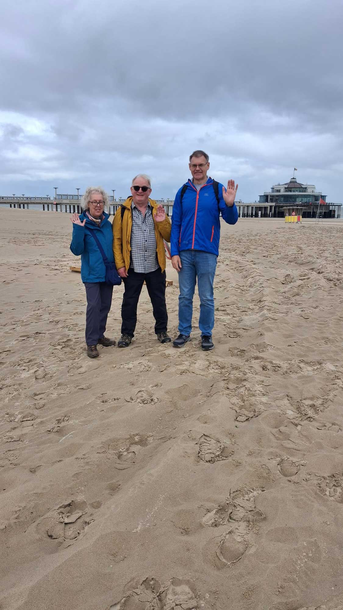
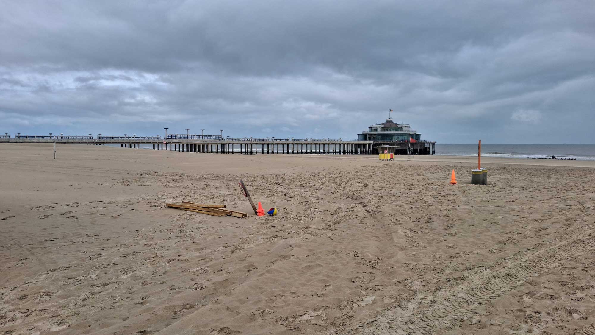
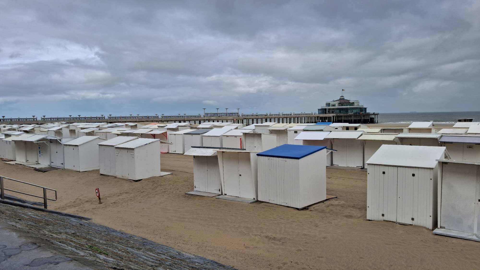
Our last stop was Zeebrugge. Last time we berthed here we visited Bruges, but today we just decided to take a relaxing stroll in the nearby town of Blankenberge. We caught the tram from Zeebrugge Kerk and got off at Blankenberge Pier from where we walked into the centre and caught the tram back from Blankenberge Station. As there were 4 of us on the outward leg, the cost should have been 3 Euros each and similar for the return journey, but although I paid 4 times by card, the machine only charged me for one and not at all on the return journey! So, all in all, it was a very cheap day!
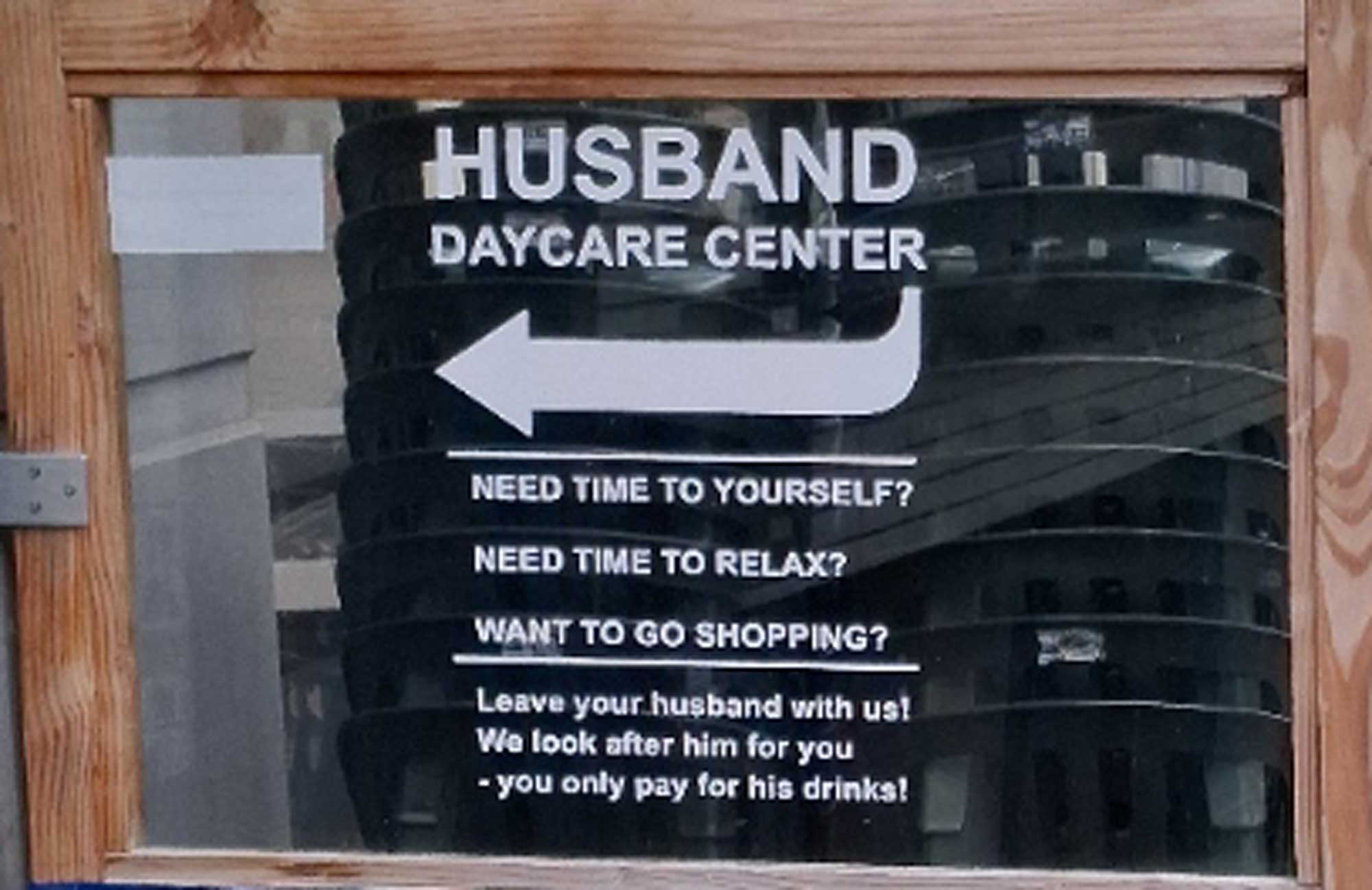
I spotted this interesting sign but Pat decided that she'd put up with me for the day so I escaped the experience:
With that I'll sign off from this holiday.